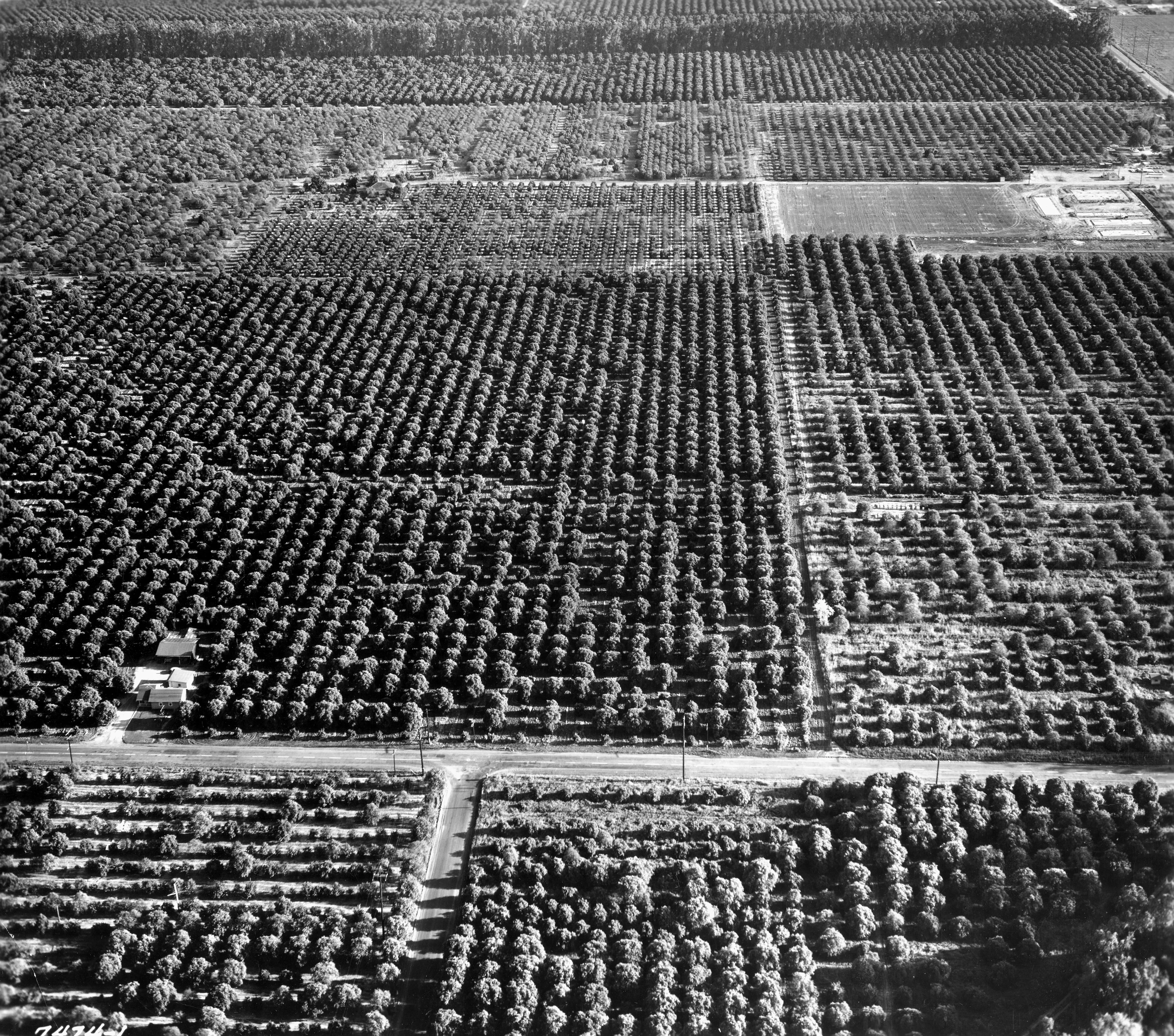
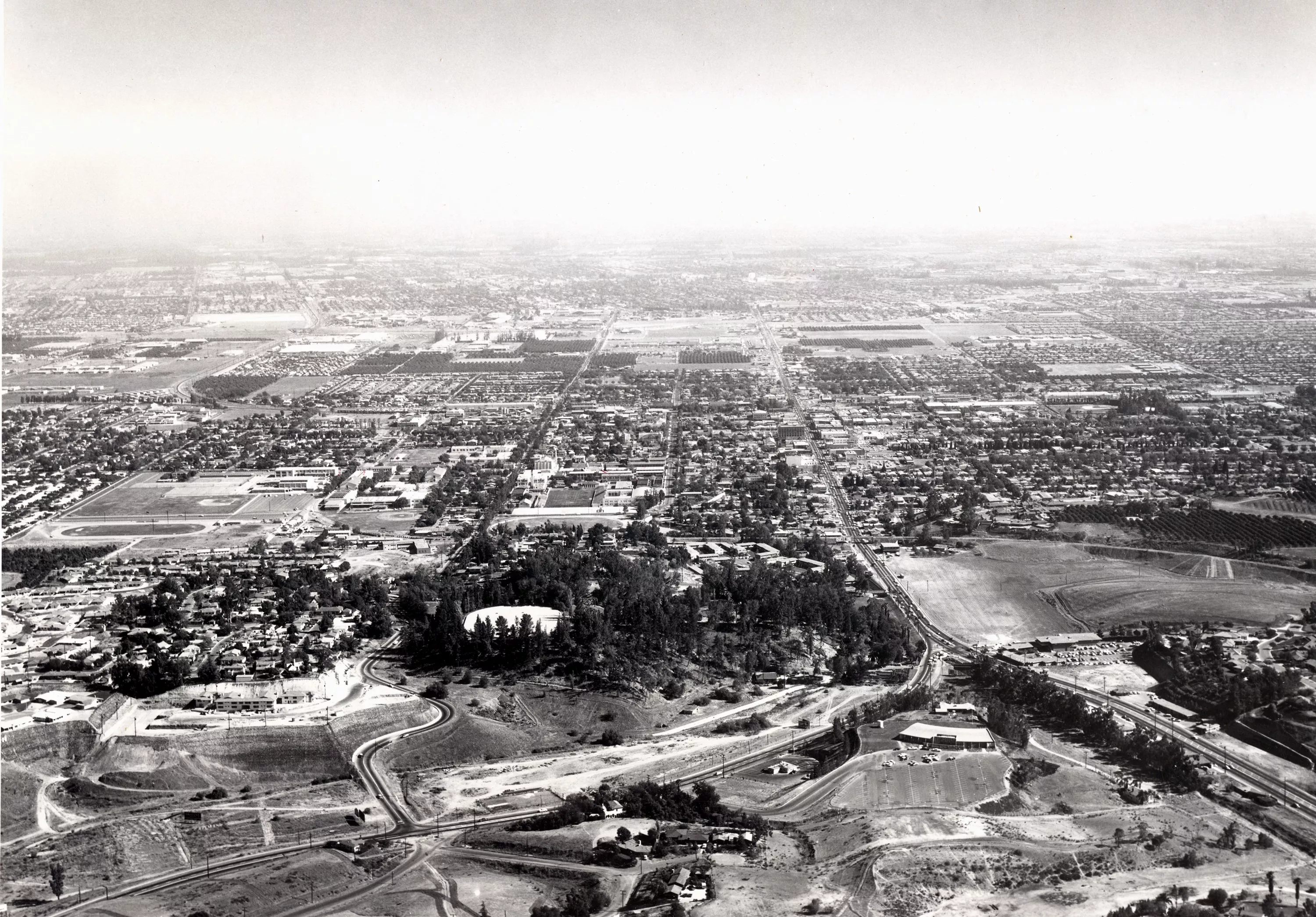
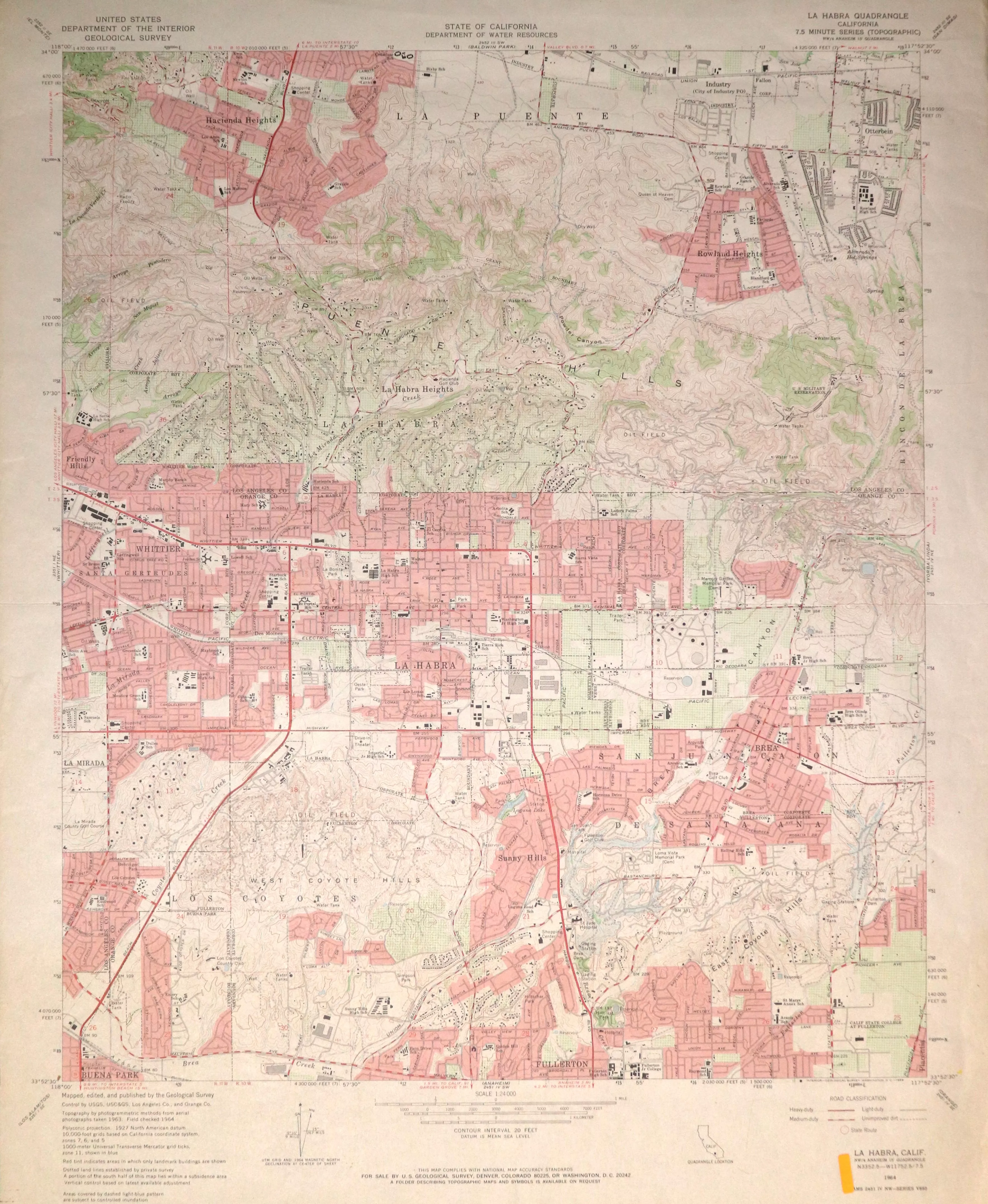
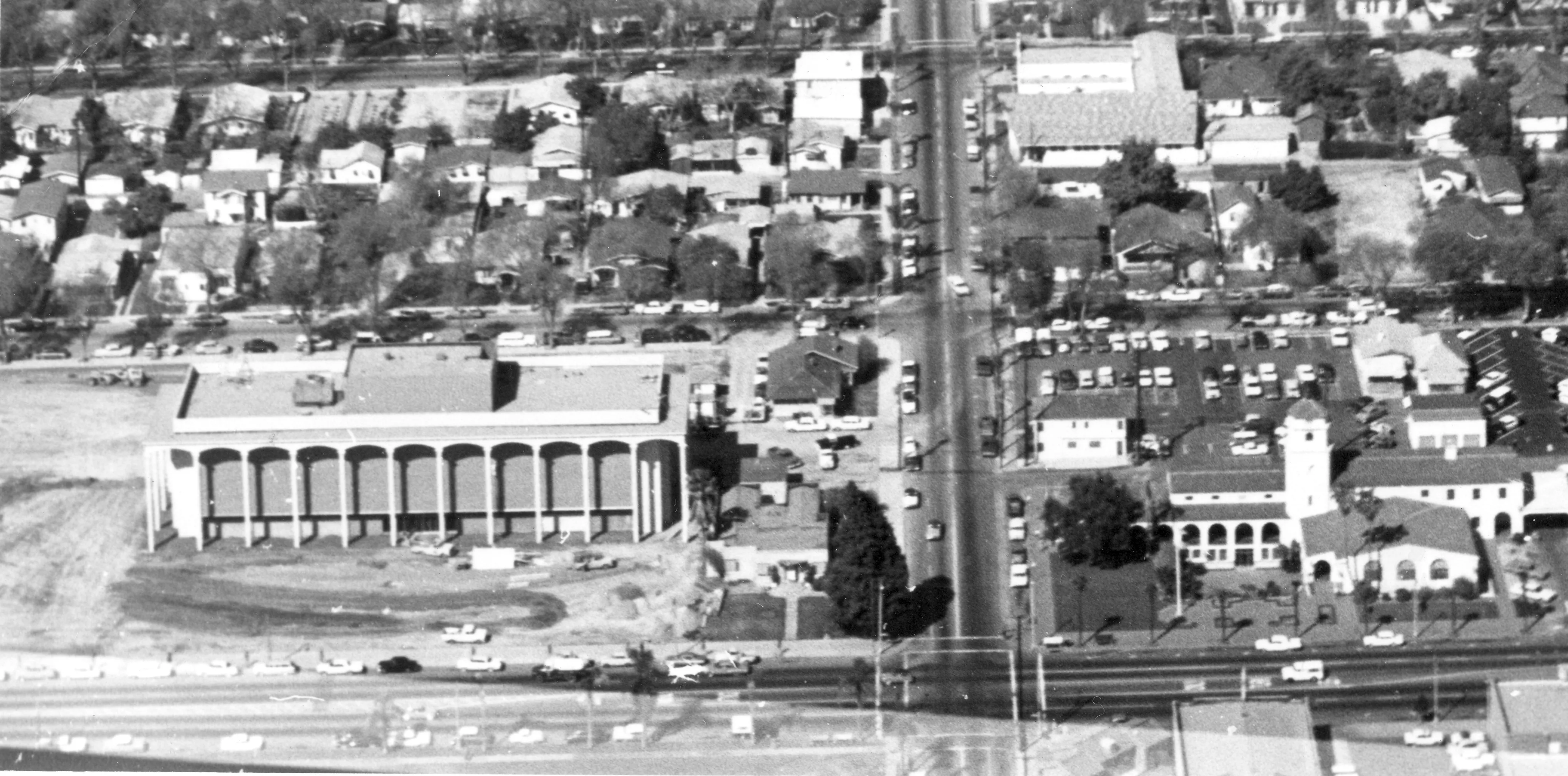
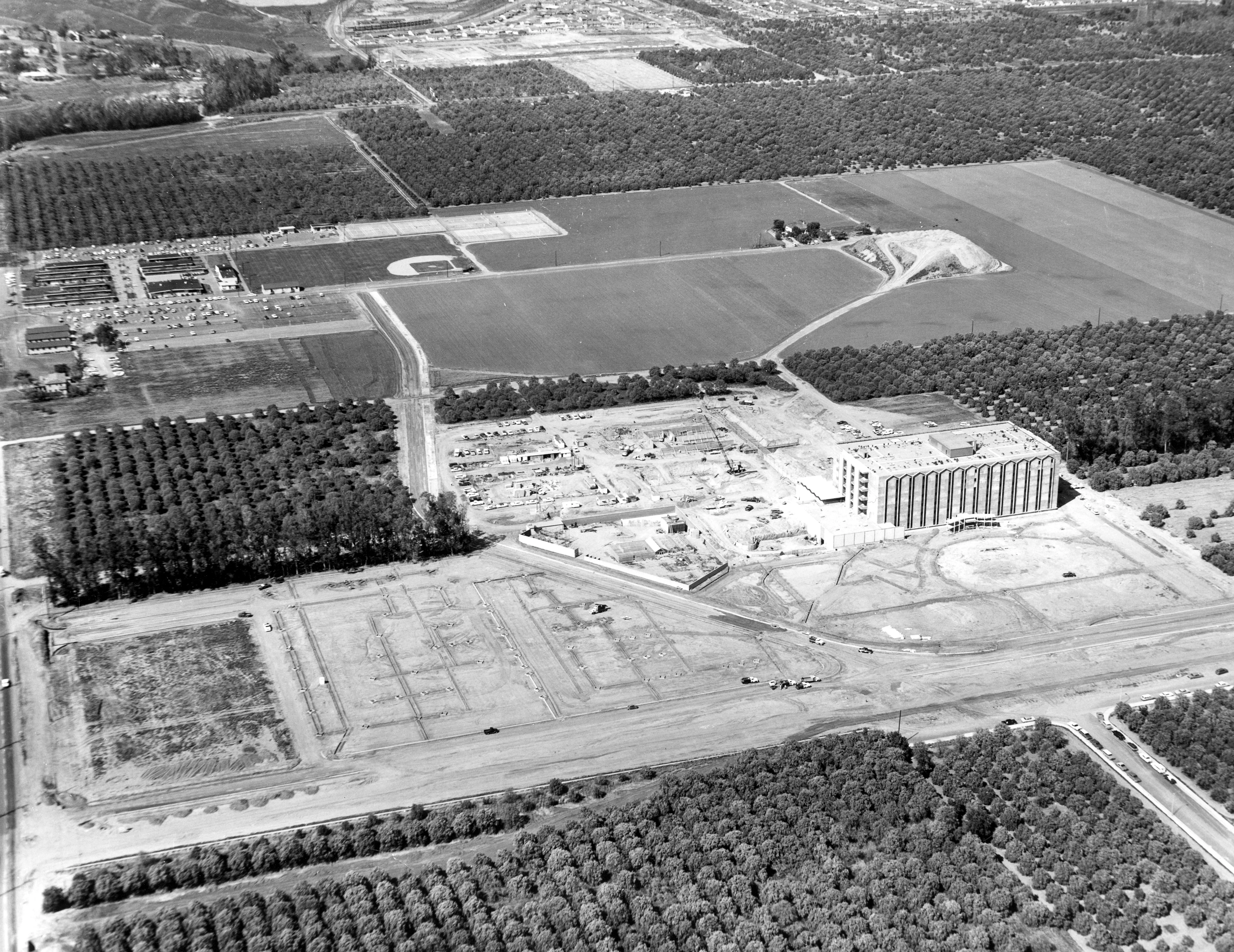
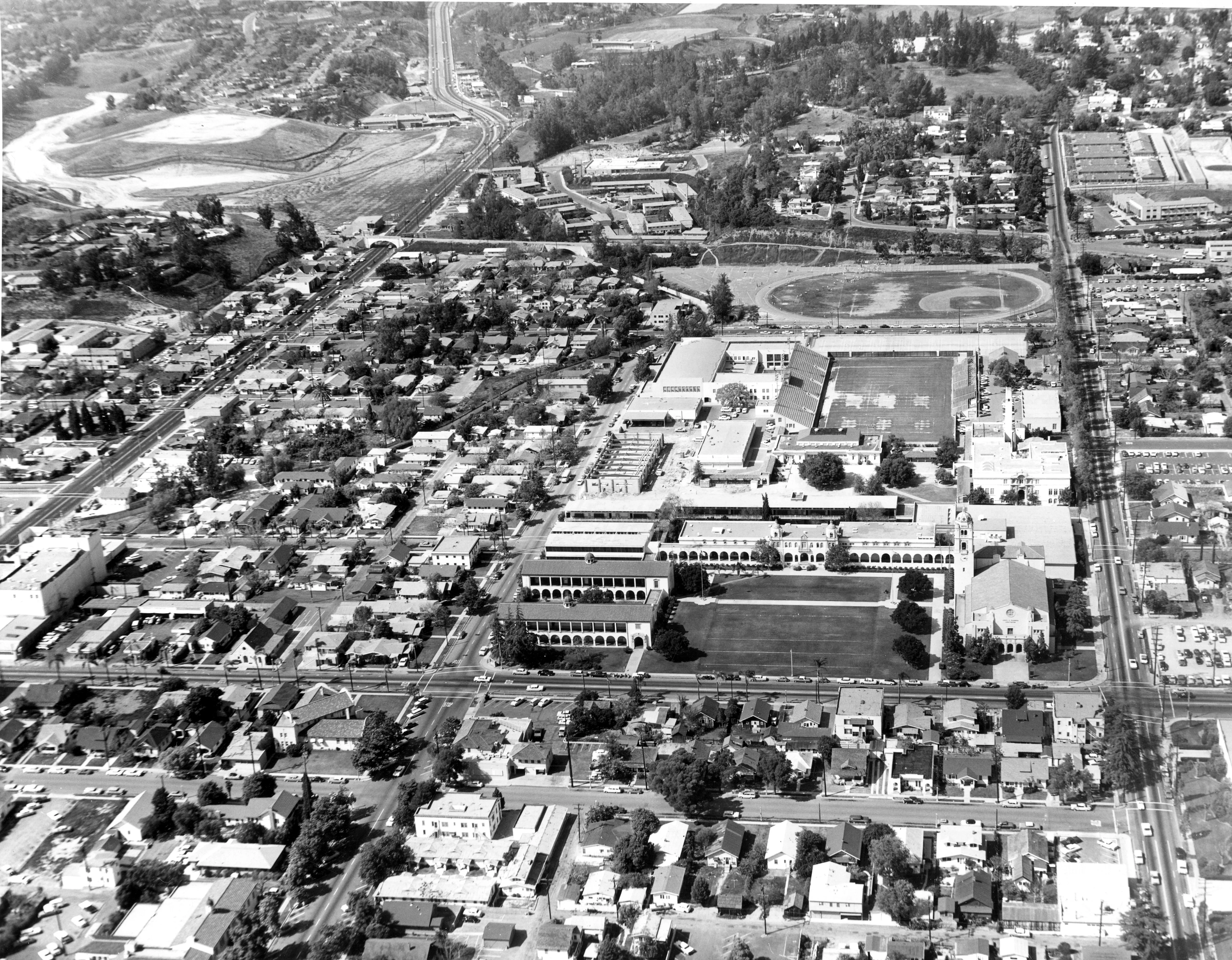
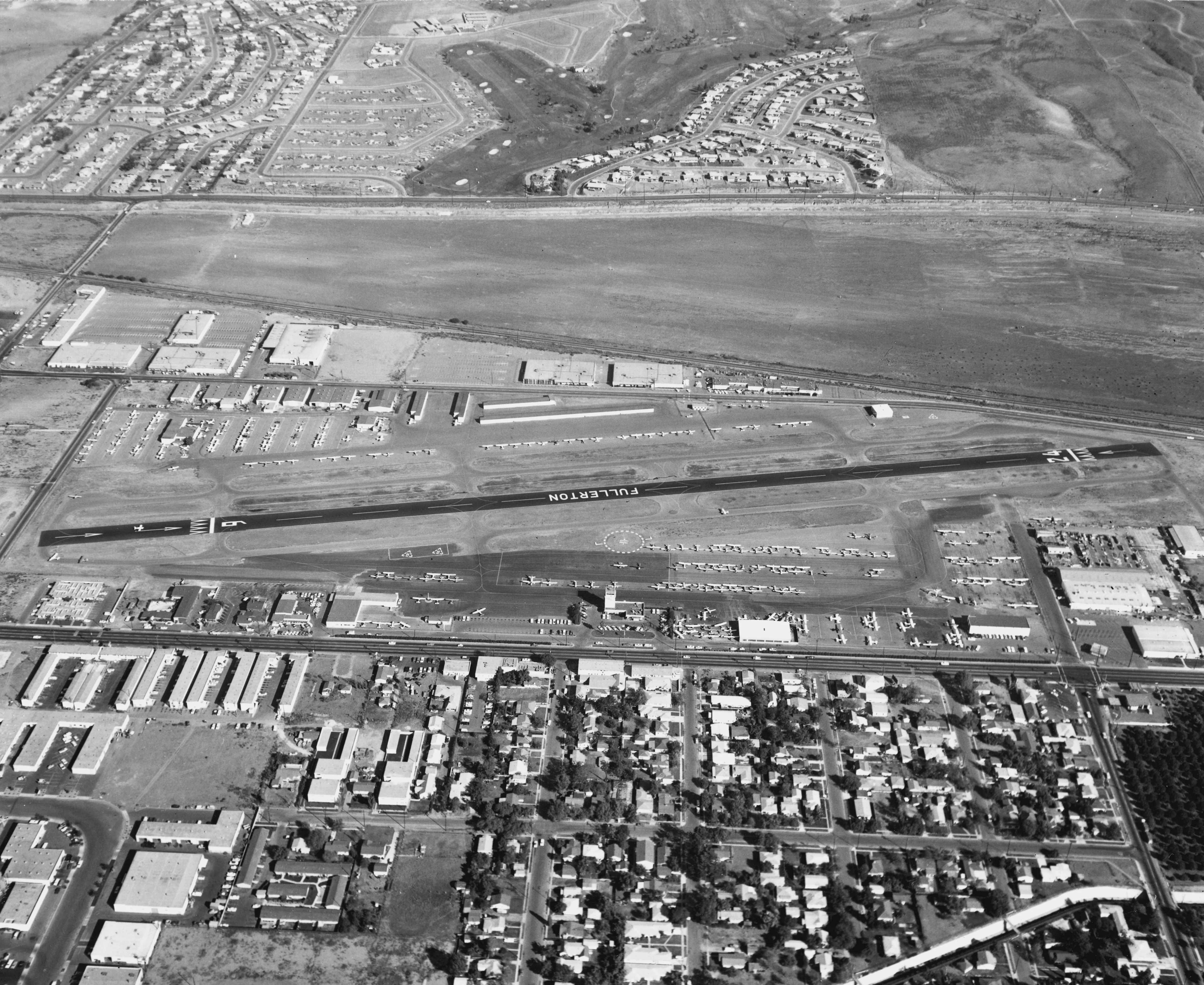
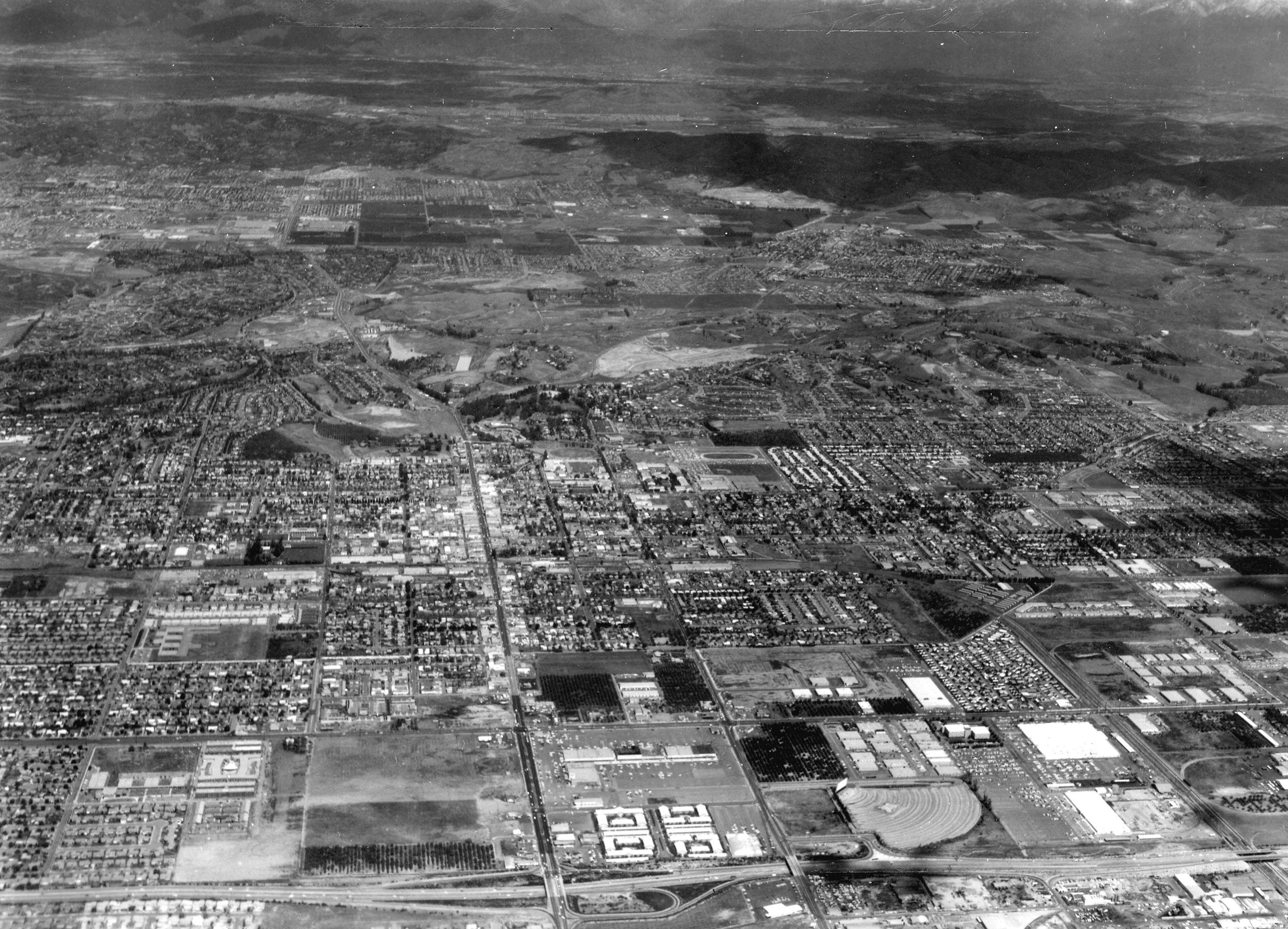
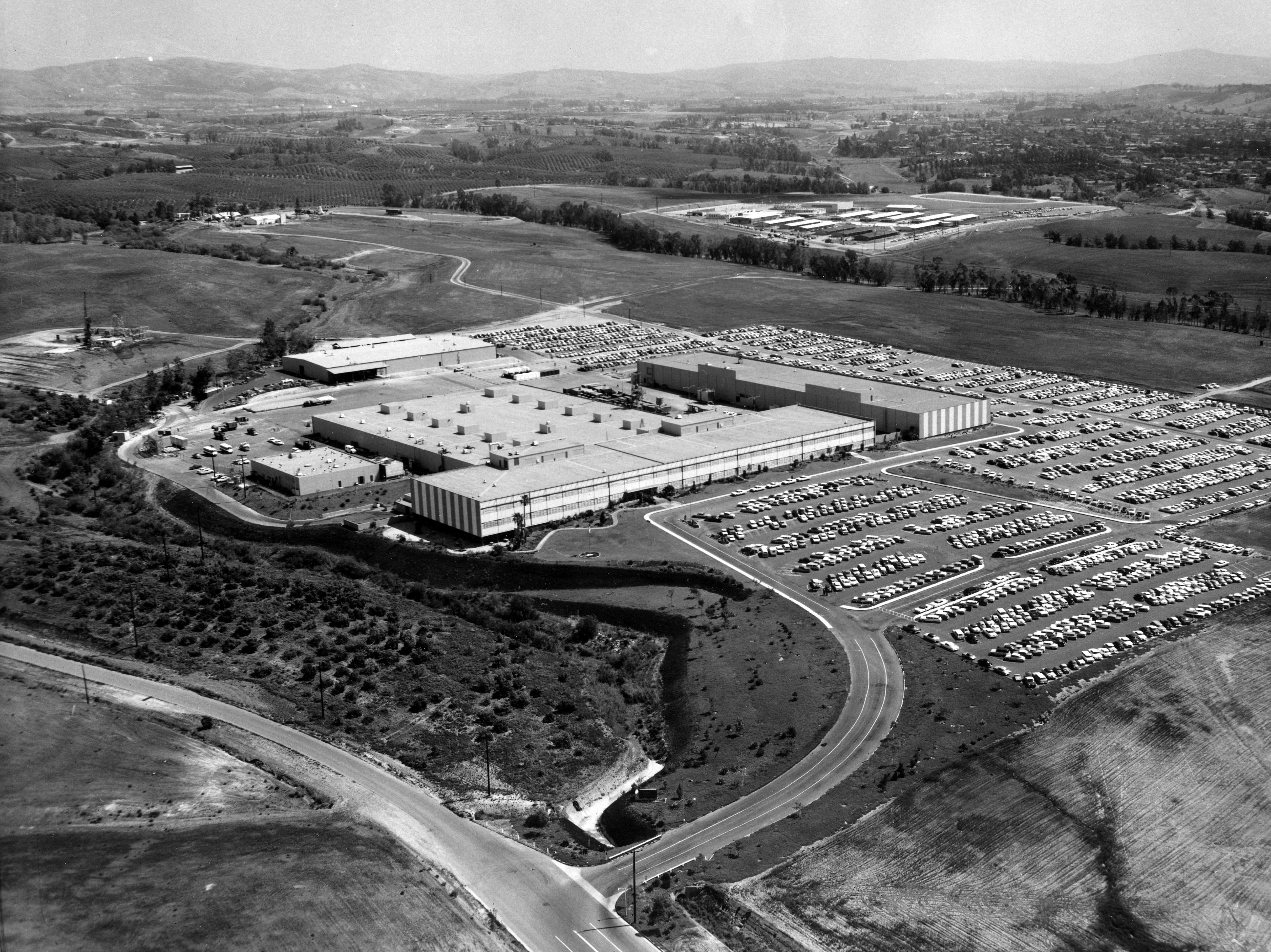
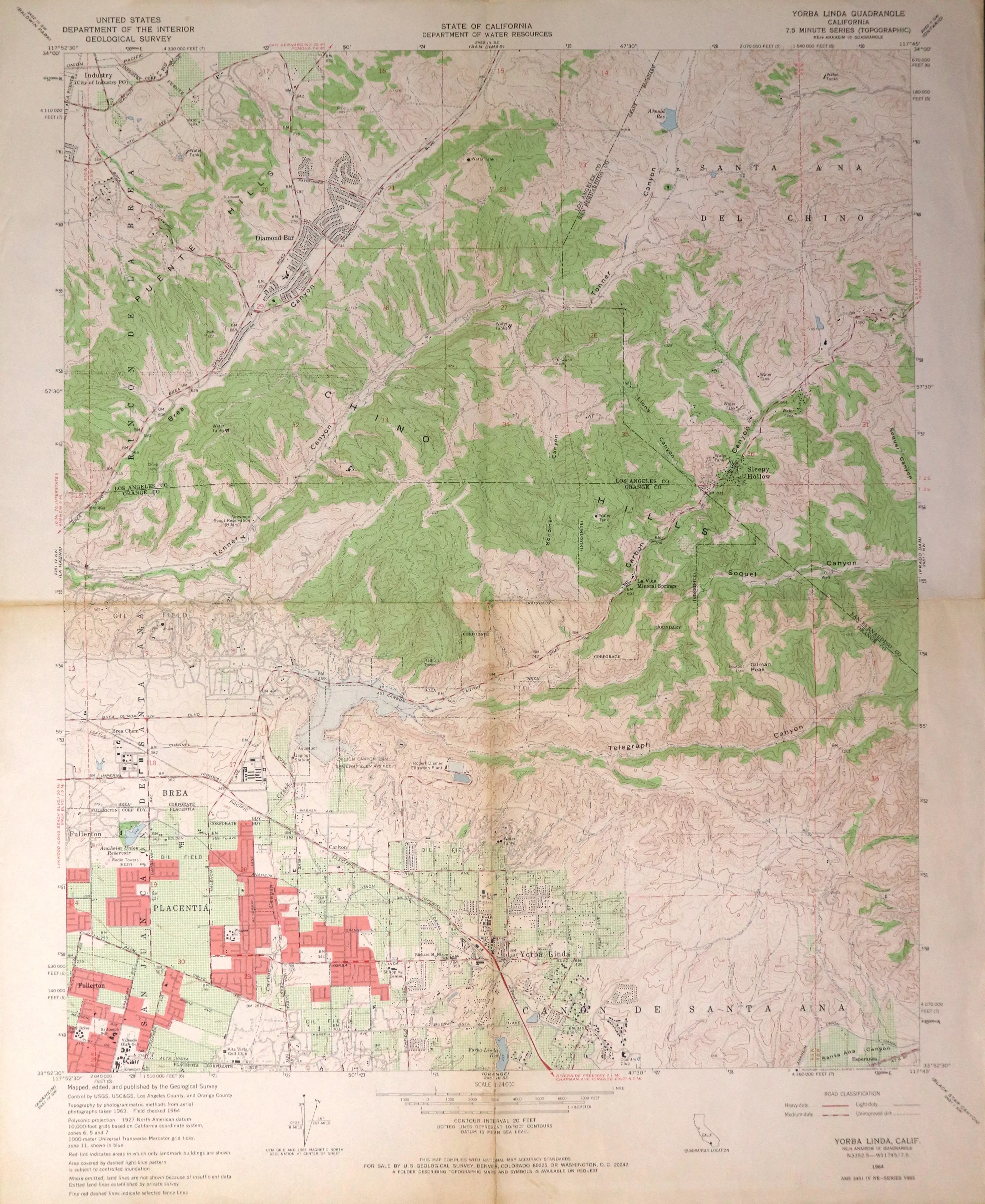
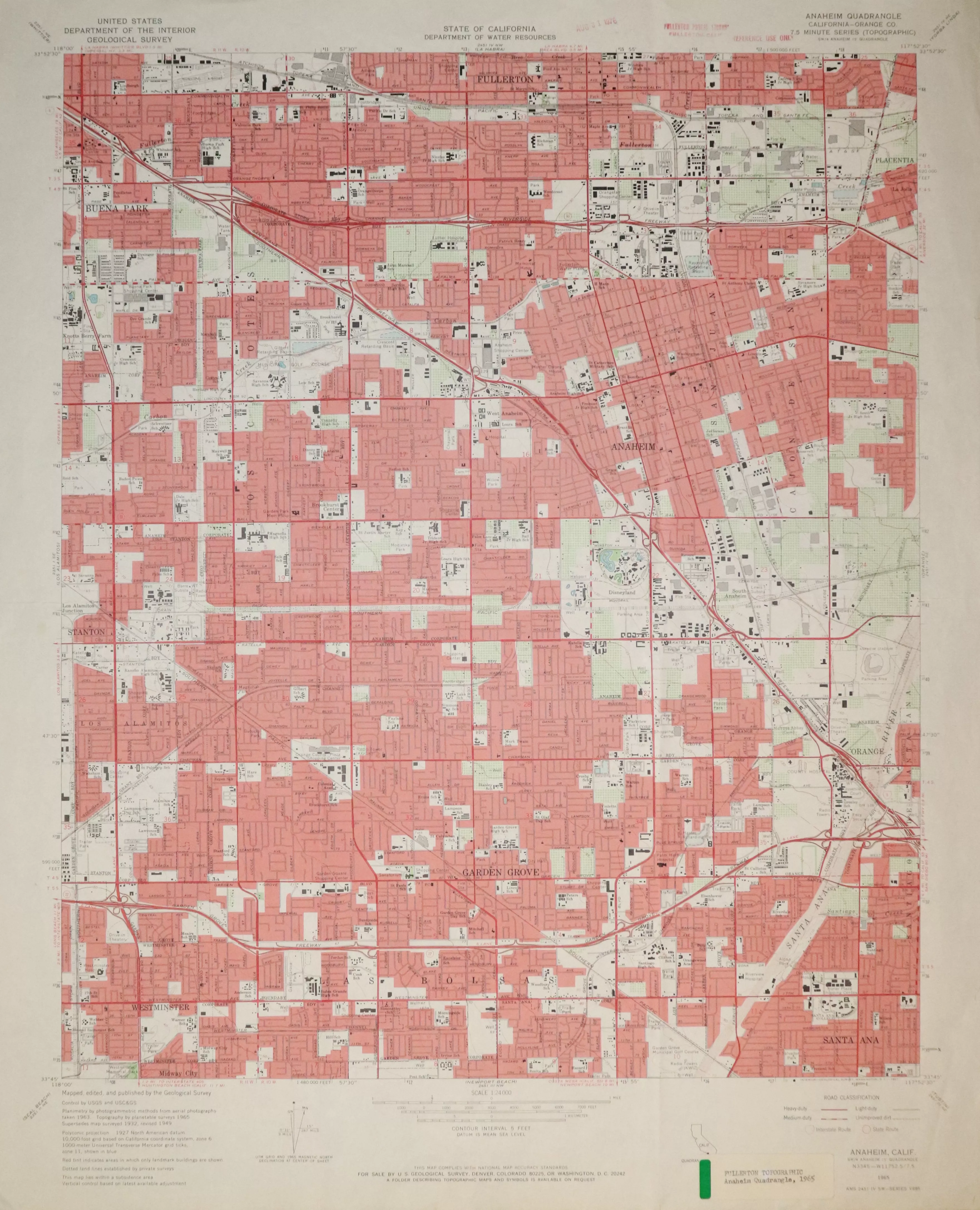
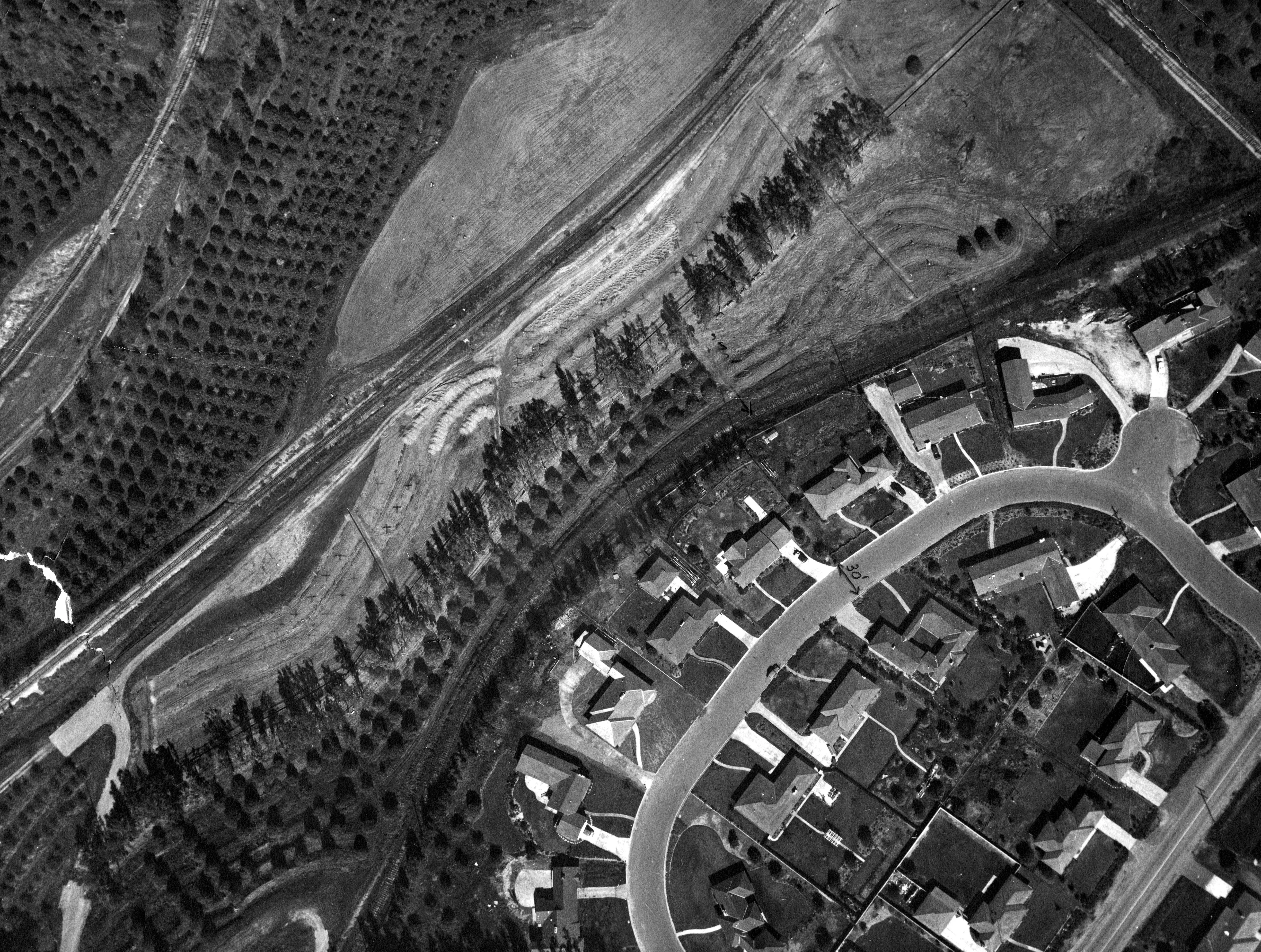
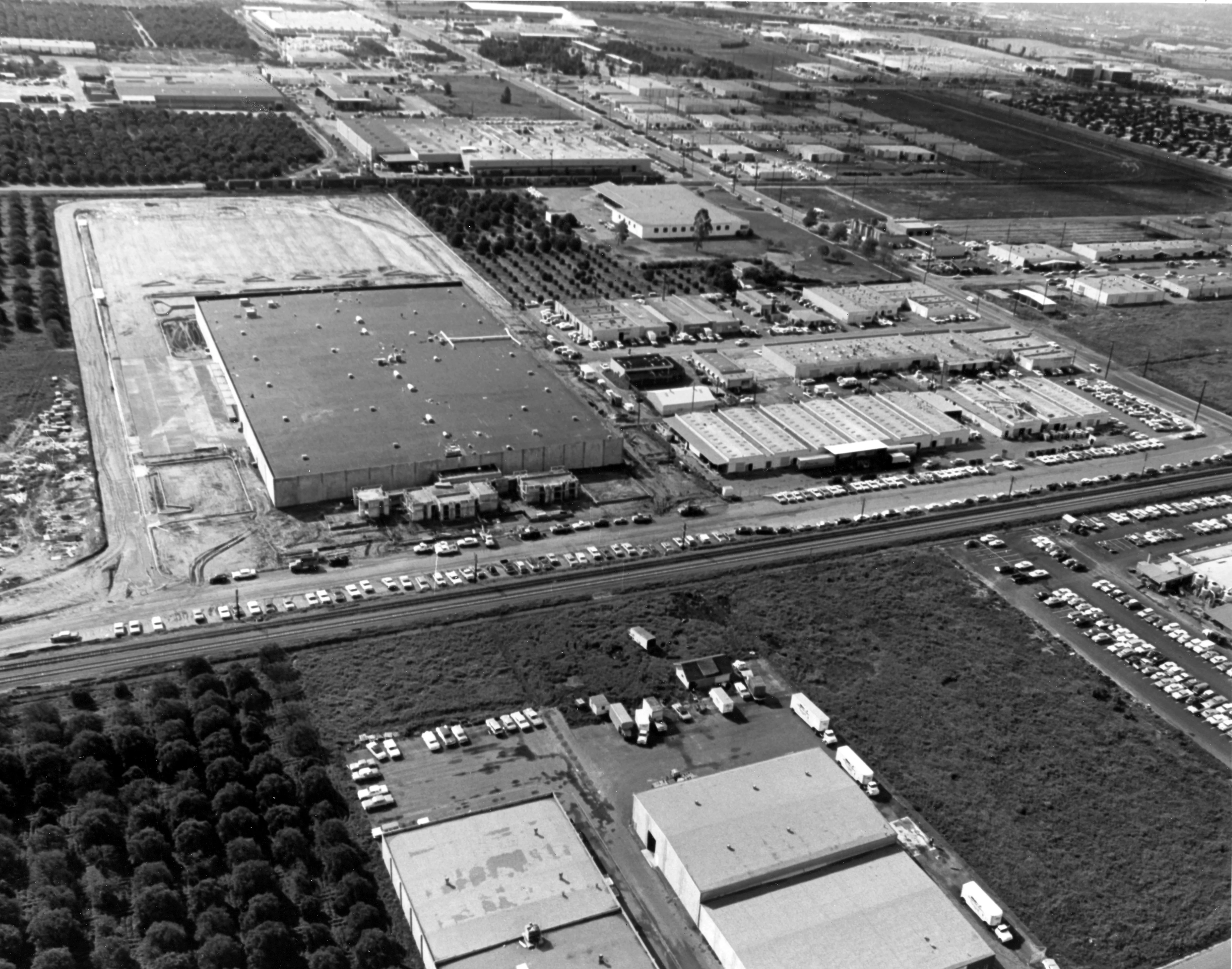
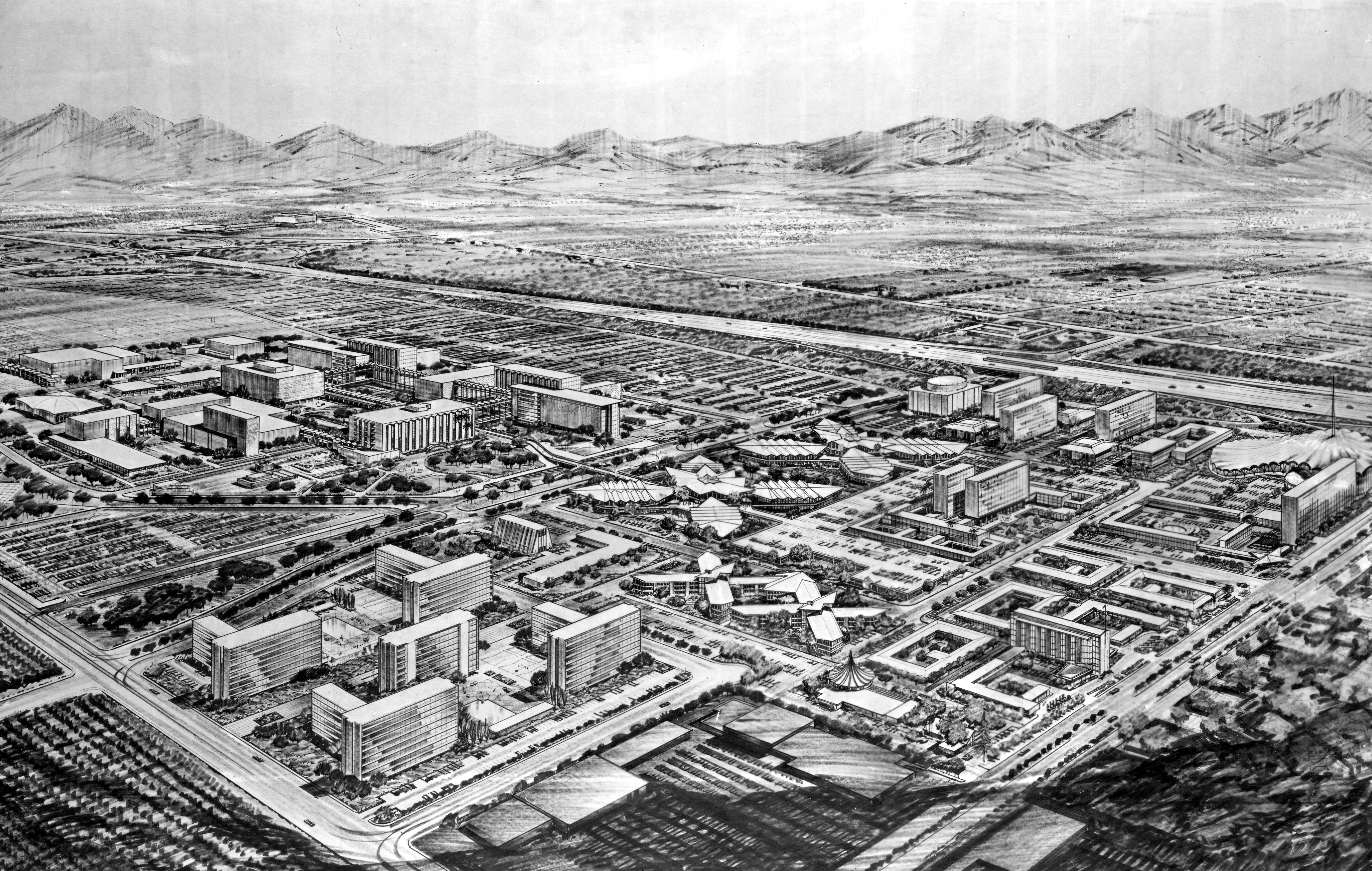
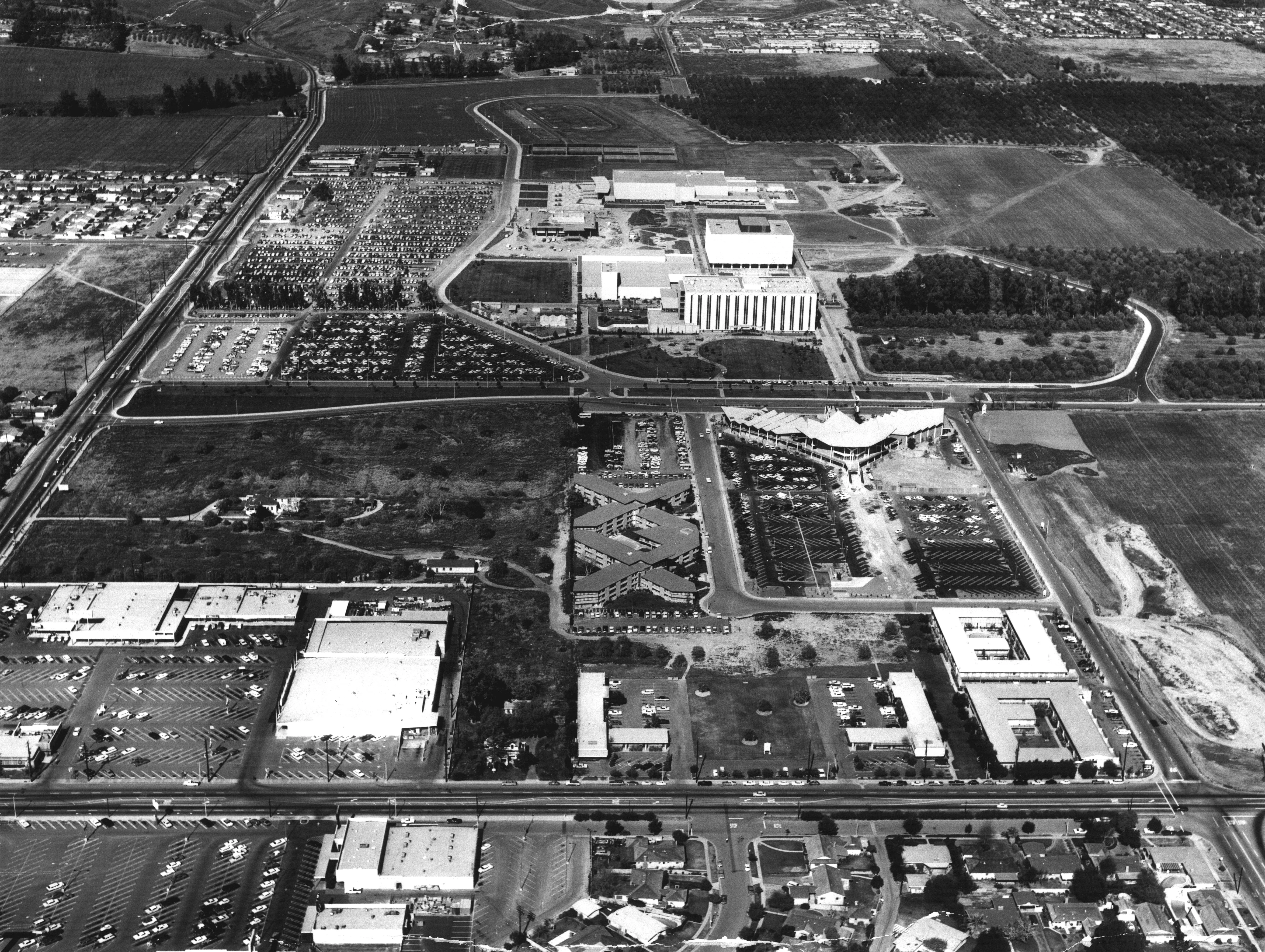
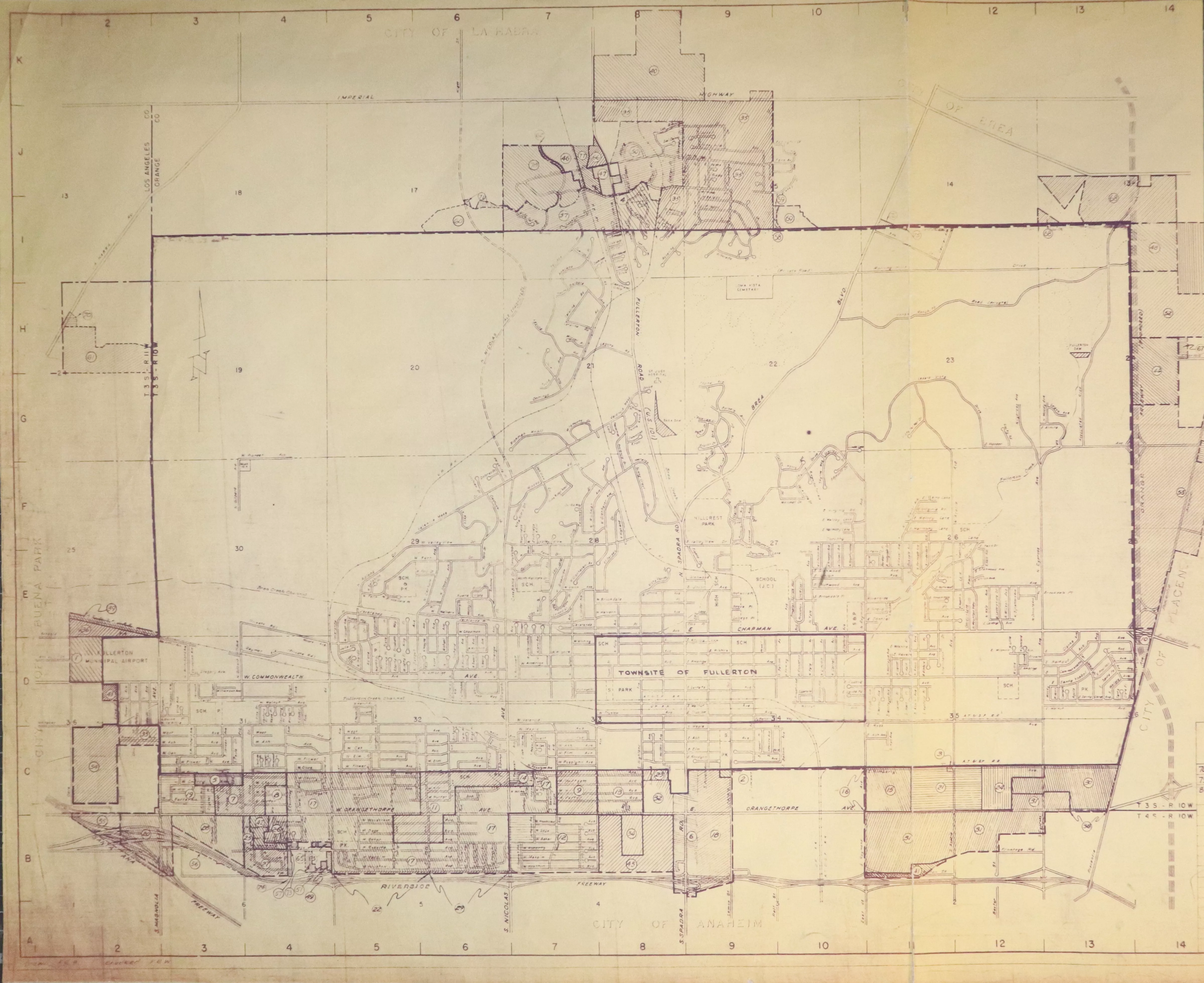
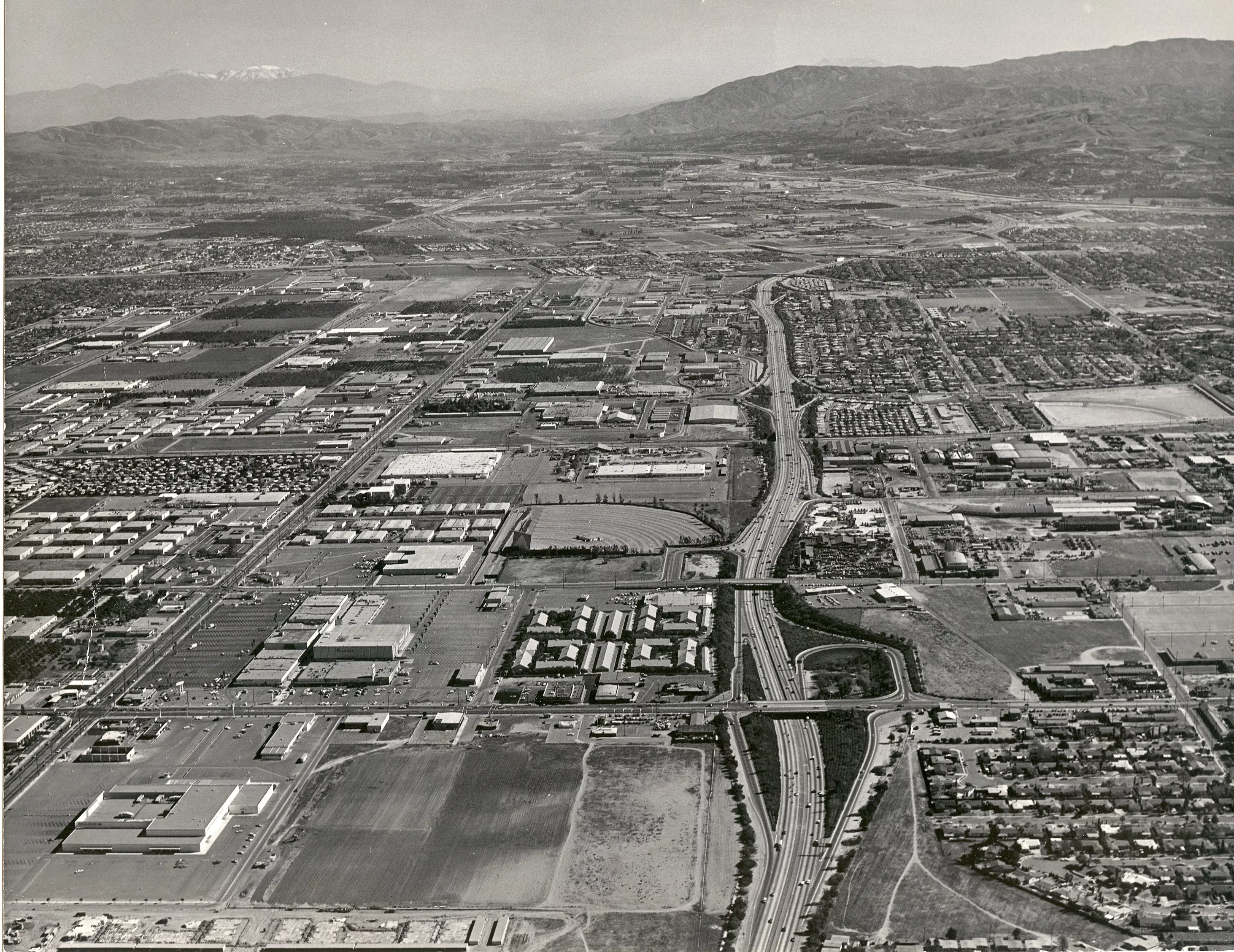
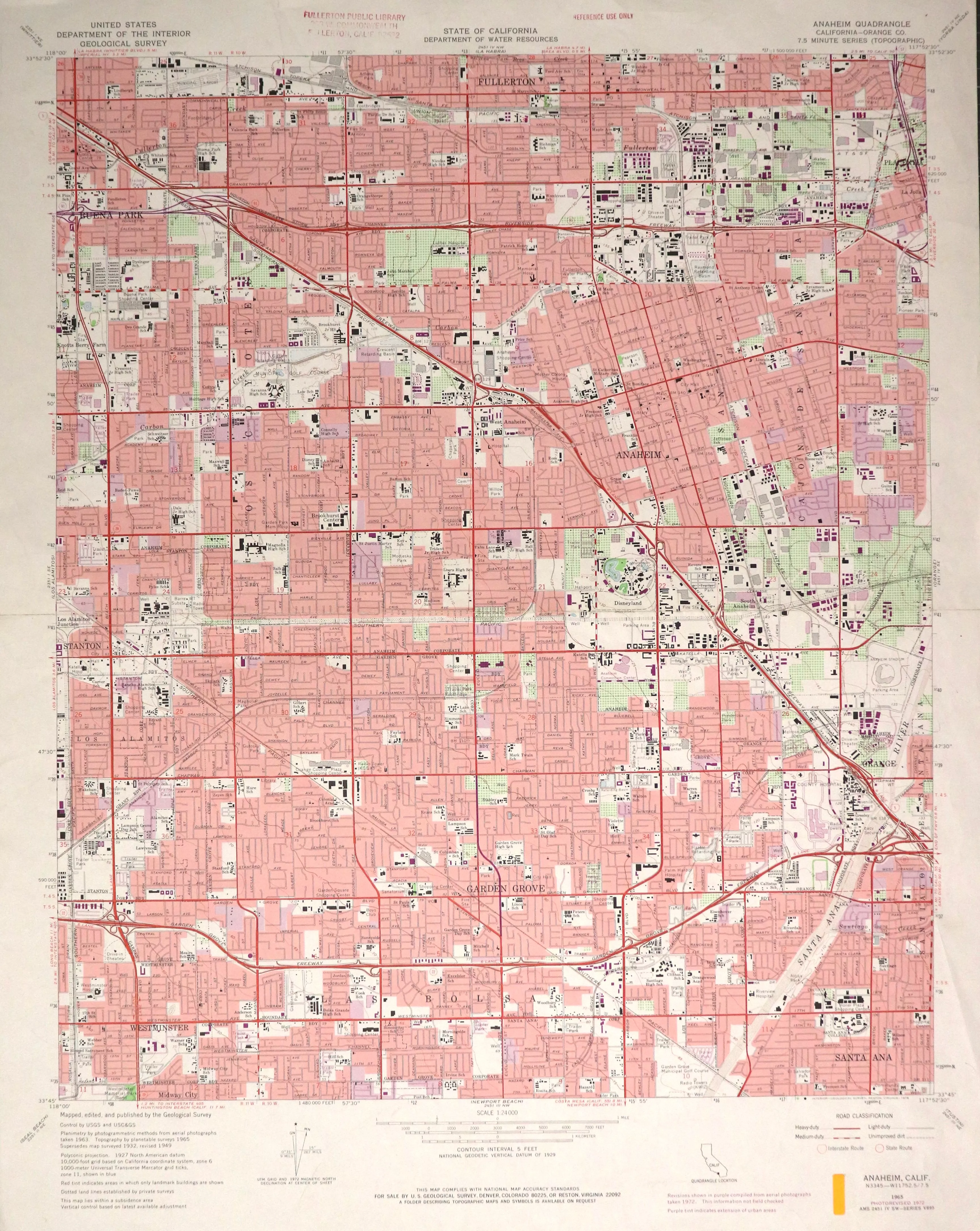
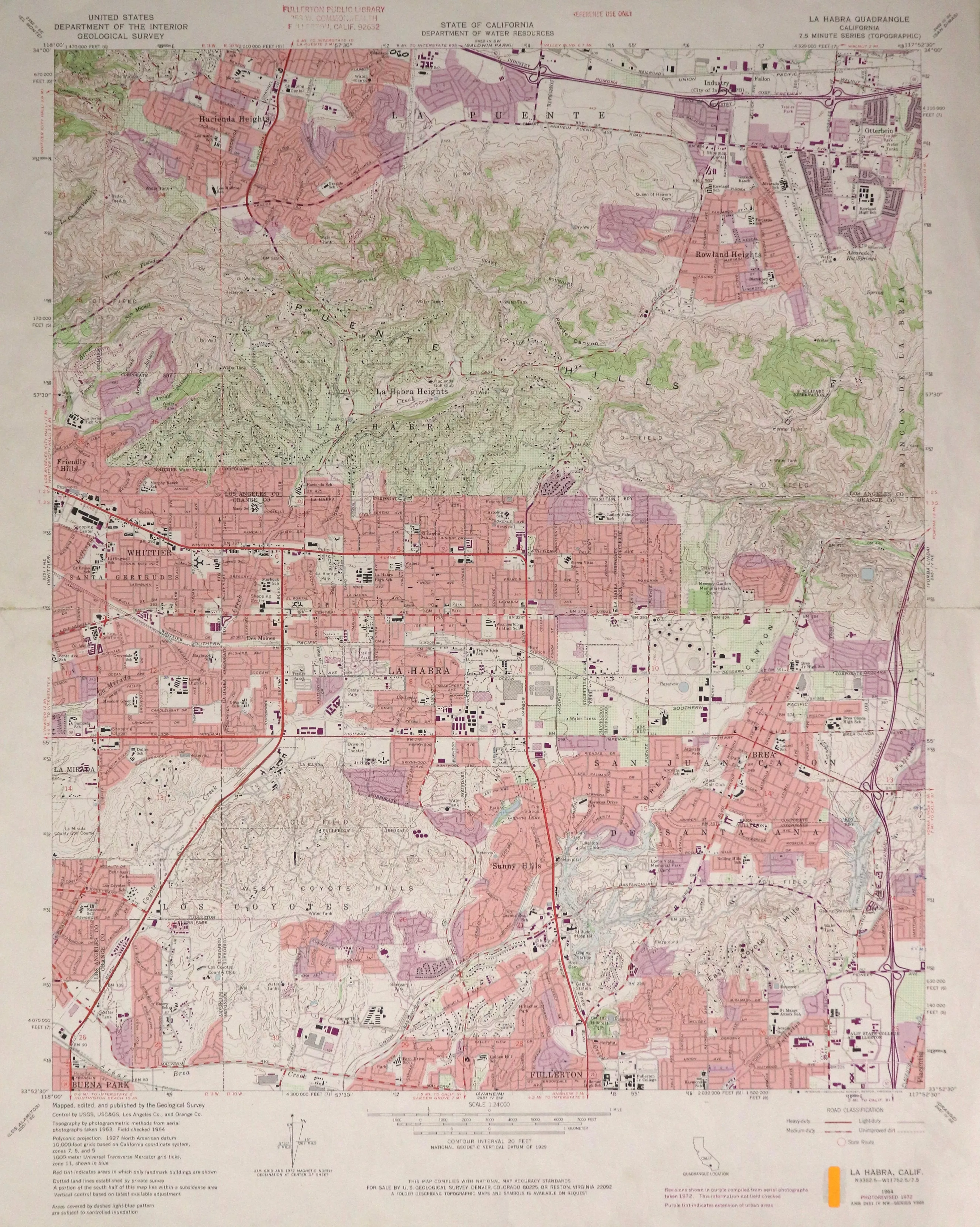
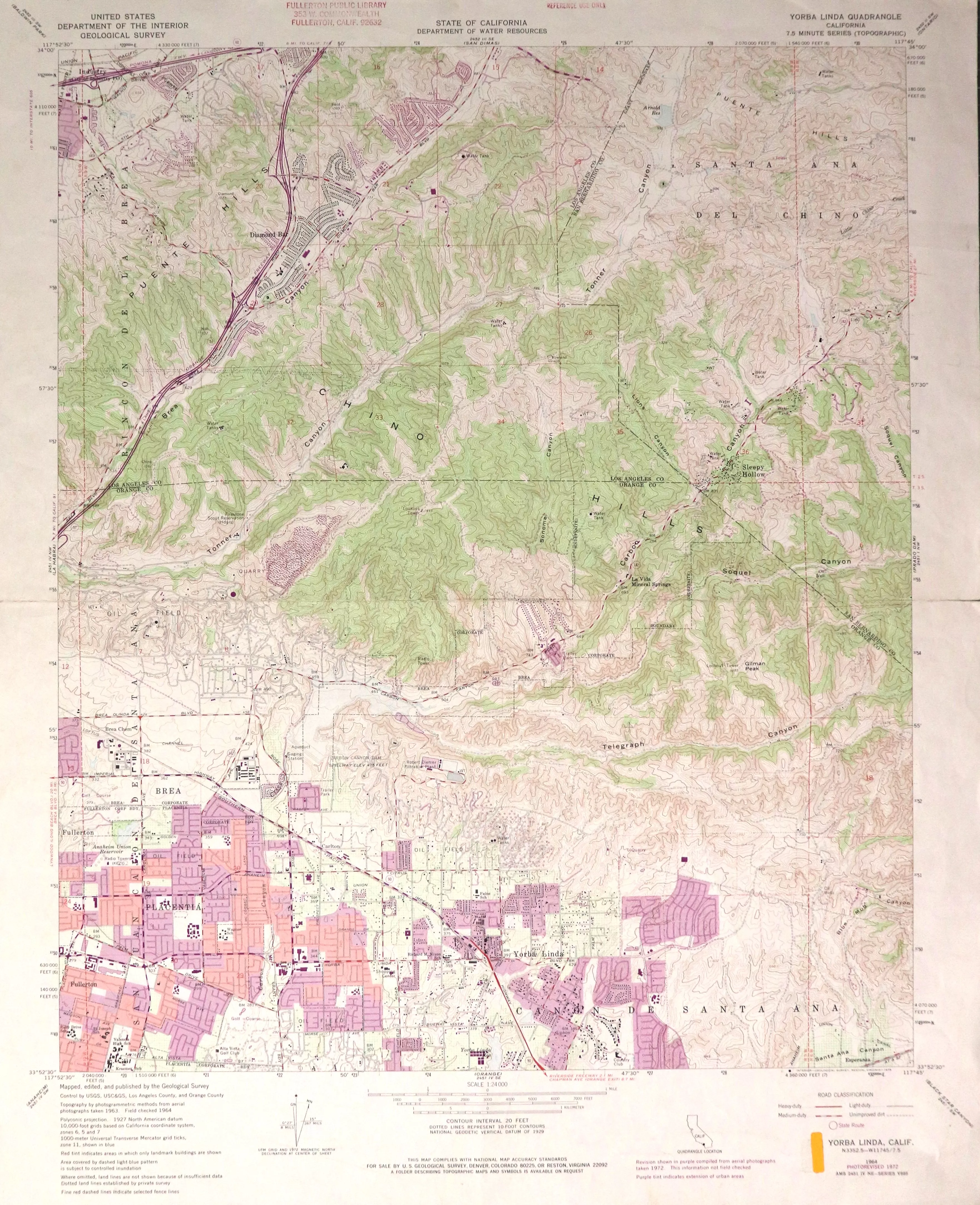
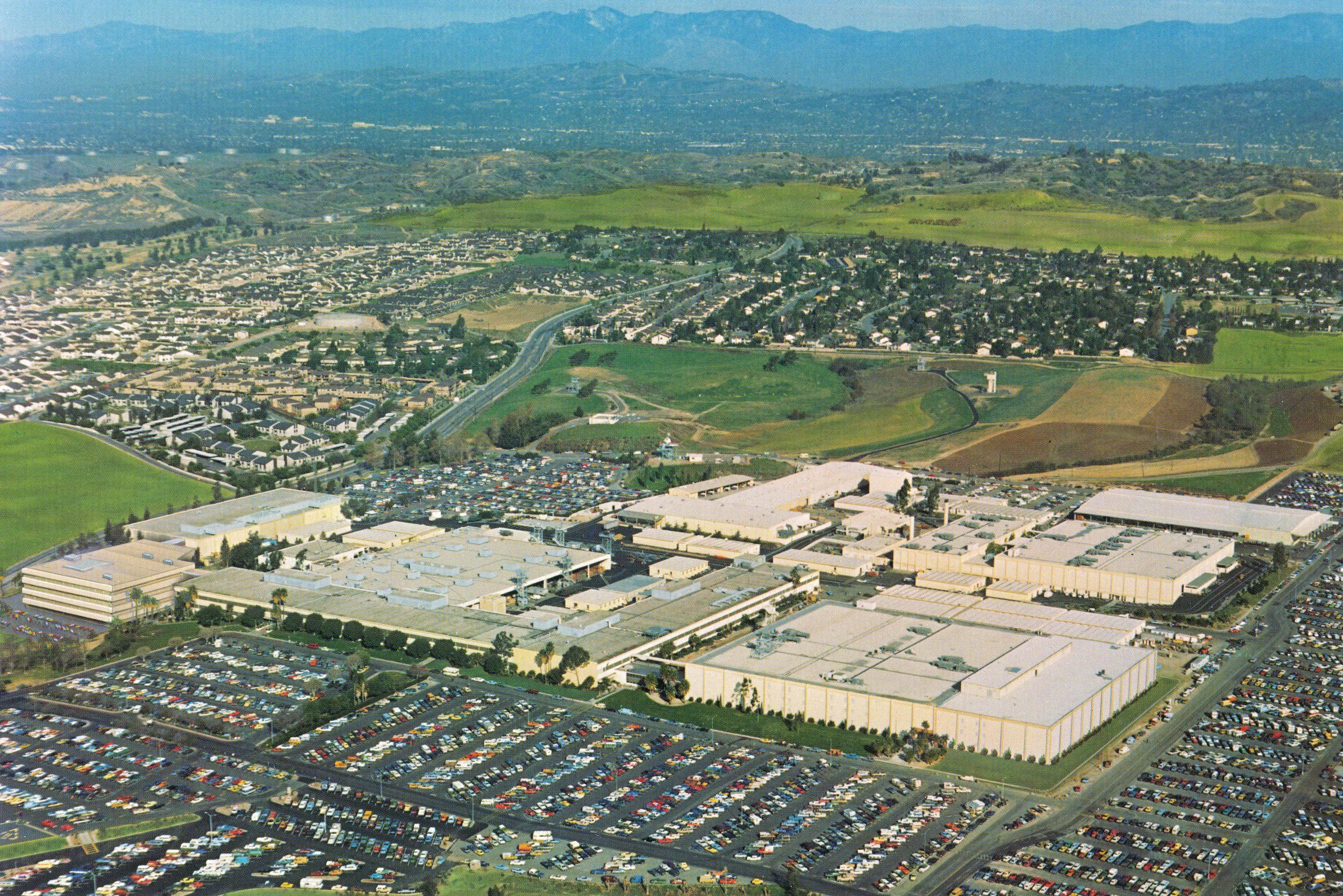
1960 | Aerial View: CSUF 1961 | Aerial View: Fullerton Looking South 1962 | La Habra Topographic Map 1963 | Aerial View: City Hall 1963 | Aerial View: CSUF 1963 | Aerial Views: Downtown Click the image above to view the full map series. 1964 | Aerial View: Airport Area 1964 | Aerial View: Fullerton Looking North 1964 | Aerial View: Hughes Aircraft 1964 | Yorba Linda Topographic Map 1965 | Anaheim Topographic Map 1966 | Aerial View: Miramonte Drive 1966 | Aerial View: Fender Factory 1966 | Rendering: CSUF - College Park 1967 | Aerial View: CSUF - College Park 1969 | Annexation Map Click the image above to view the full map series. 1972 | Aerial View: Orangefair Mall Area 1972 | Anaheim Topographic Map 1972 | La Habra Topographic Map 1972 | Yorba Linda Topographic Map 1979 | Aerial View: Hughes Aircraft Additional maps available at the Local History Room. Check out the Local History Room to find more information!