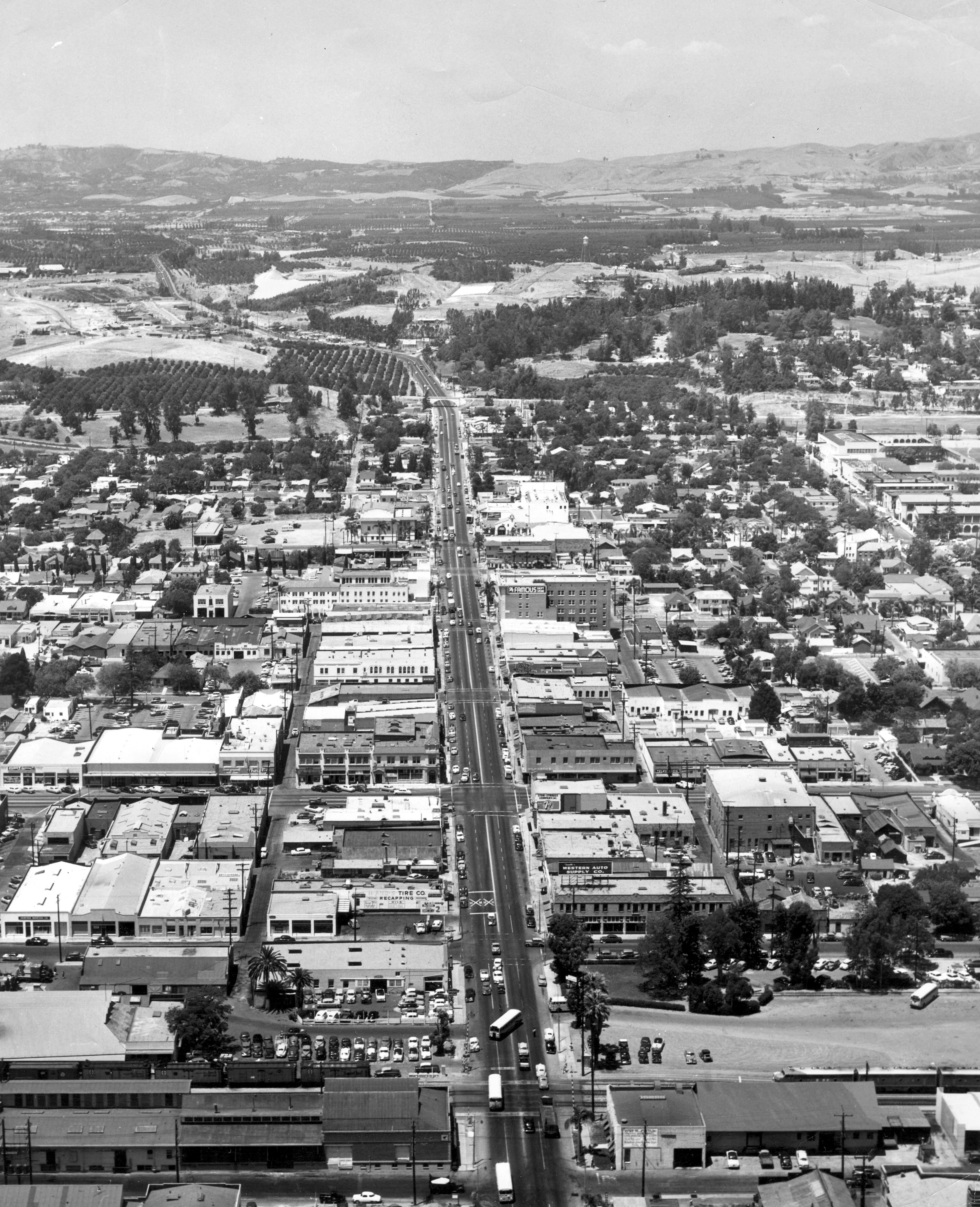
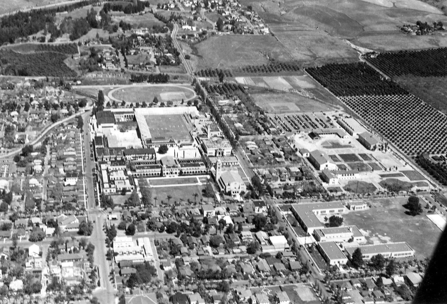
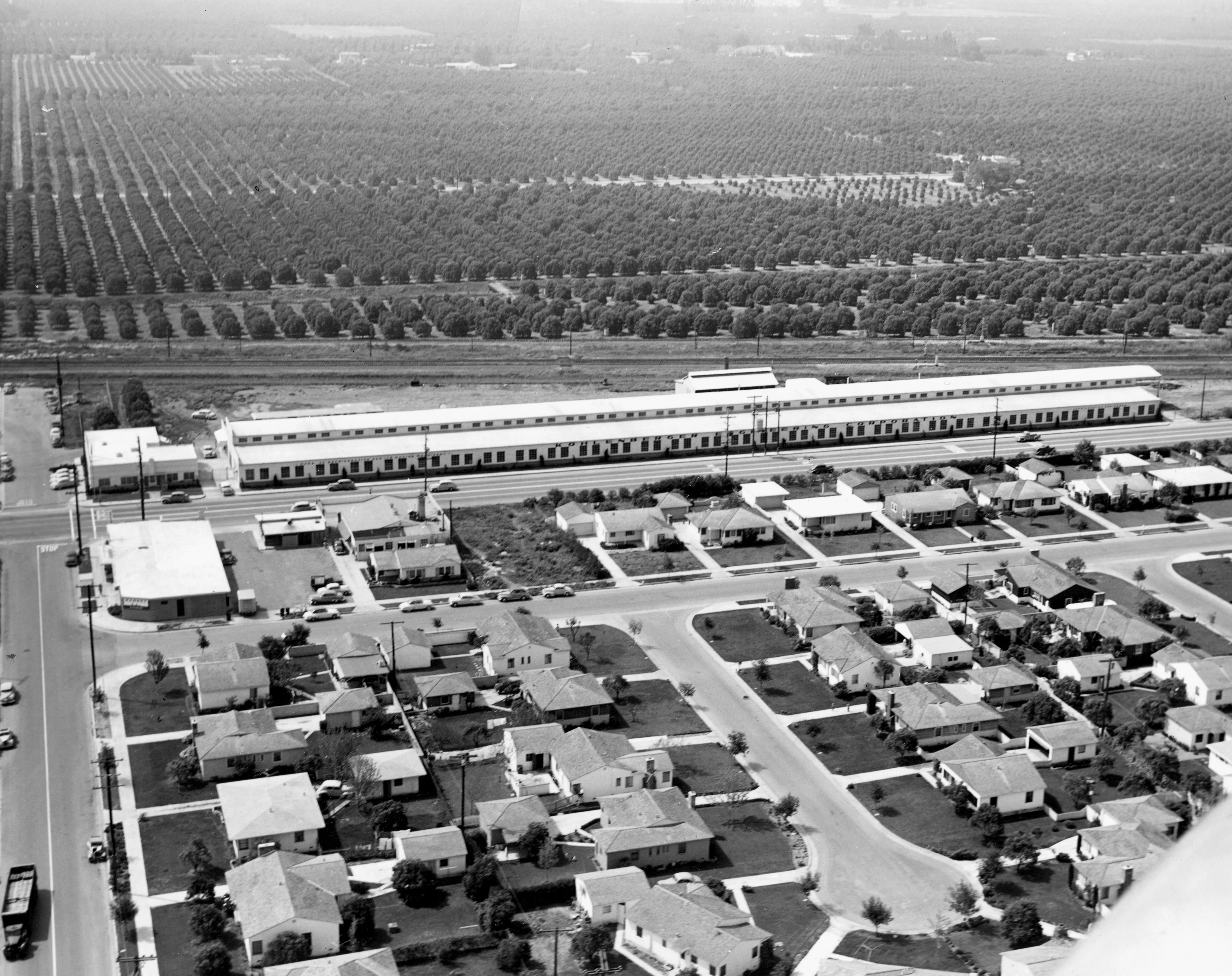
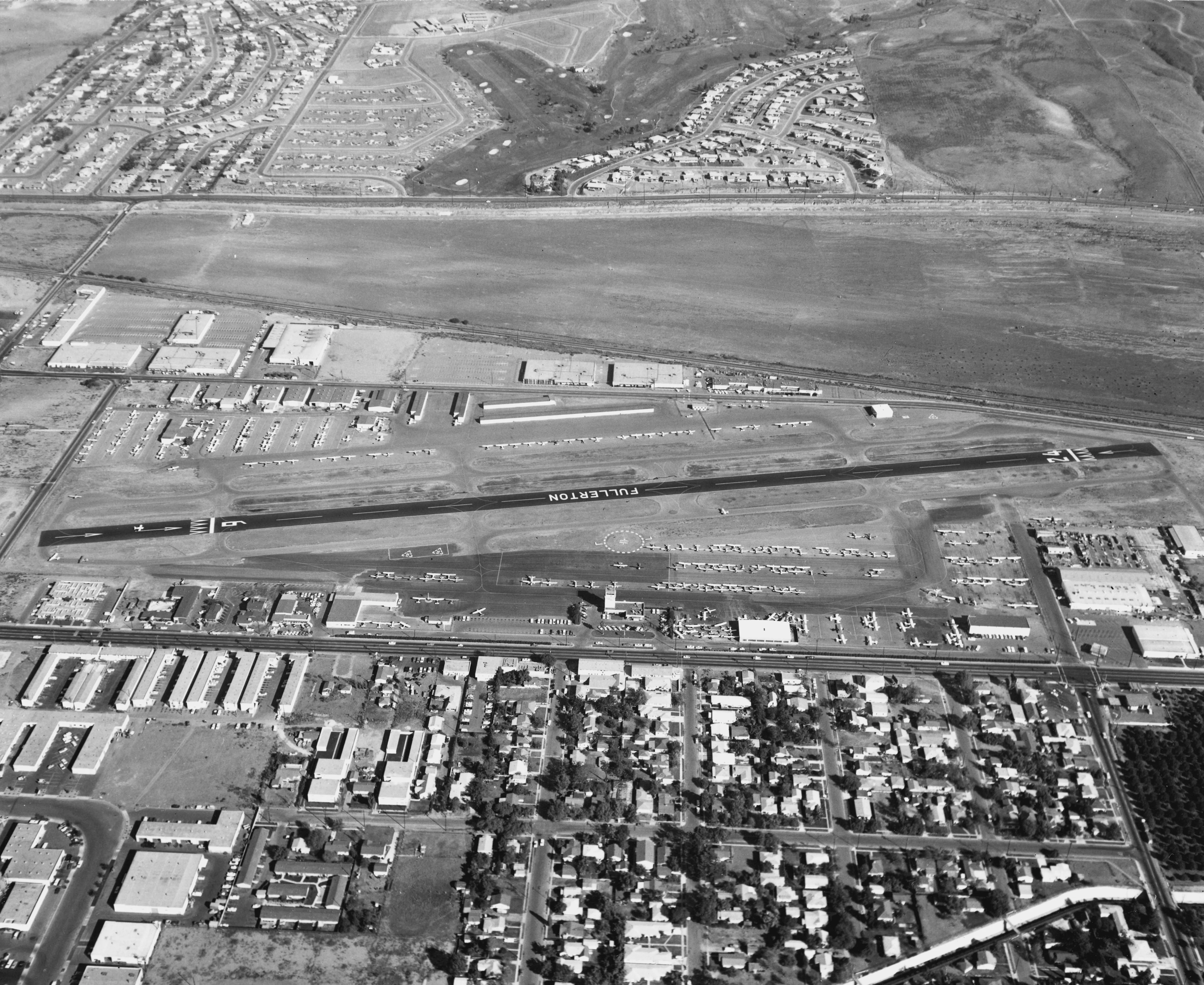
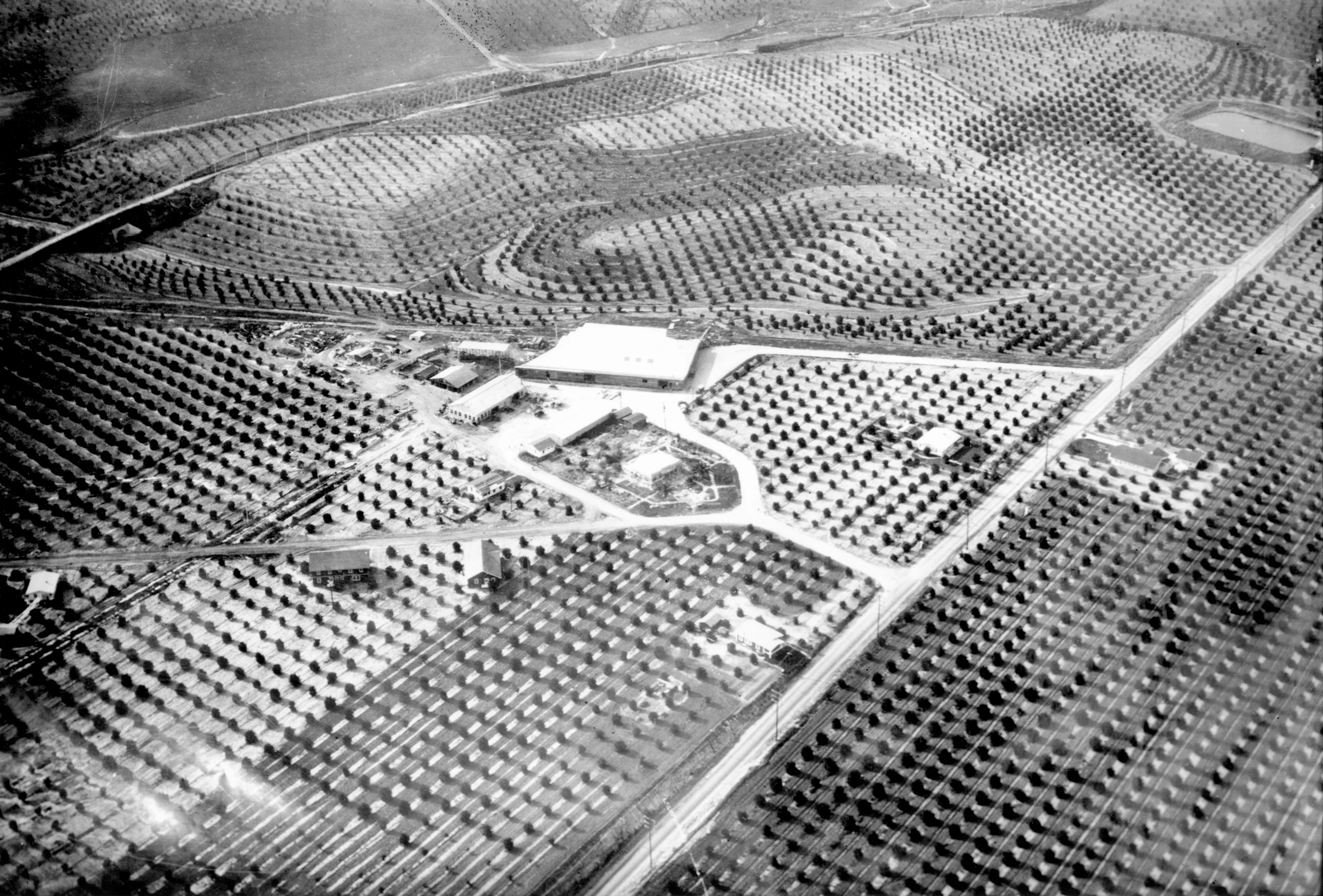
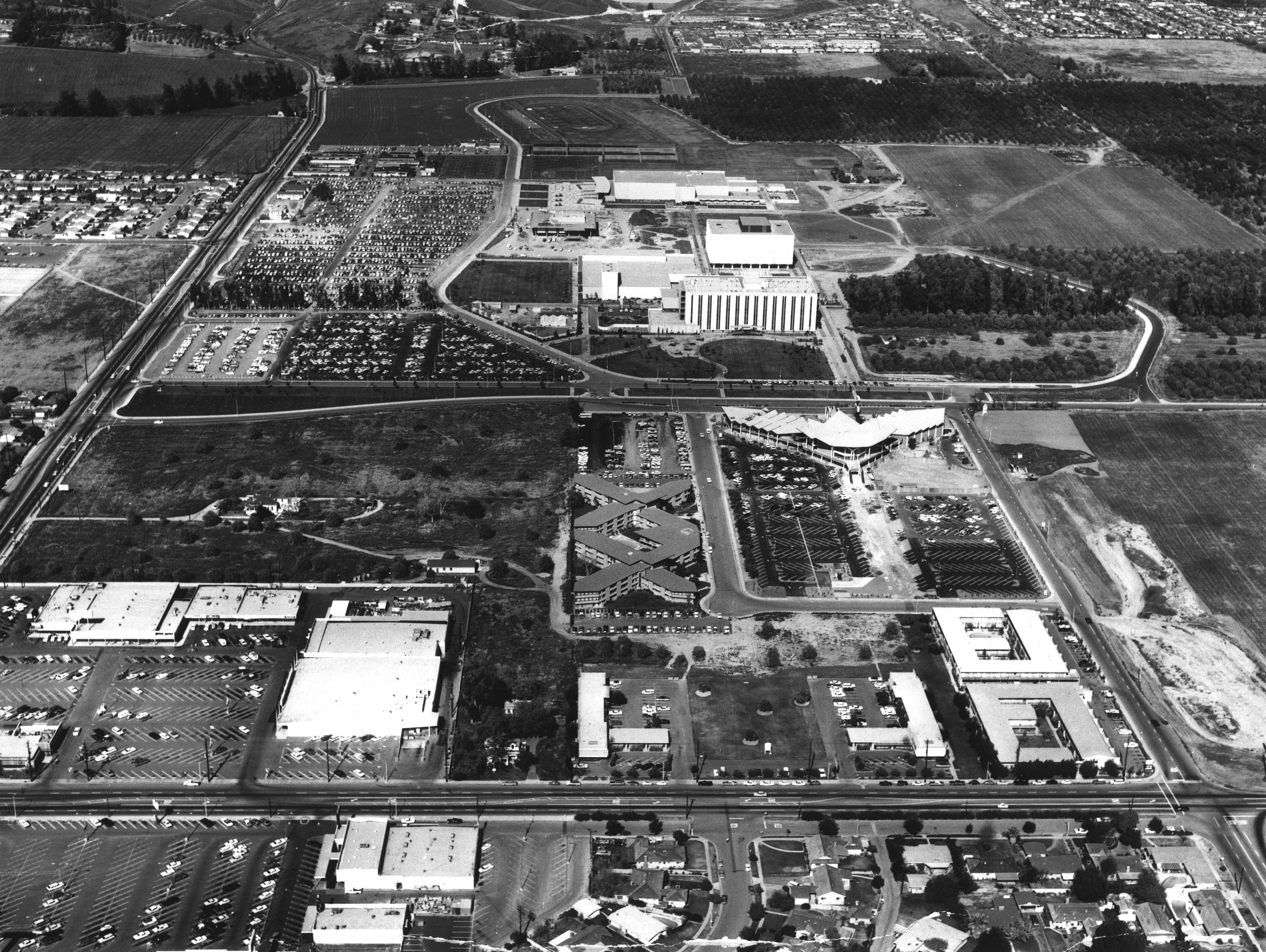
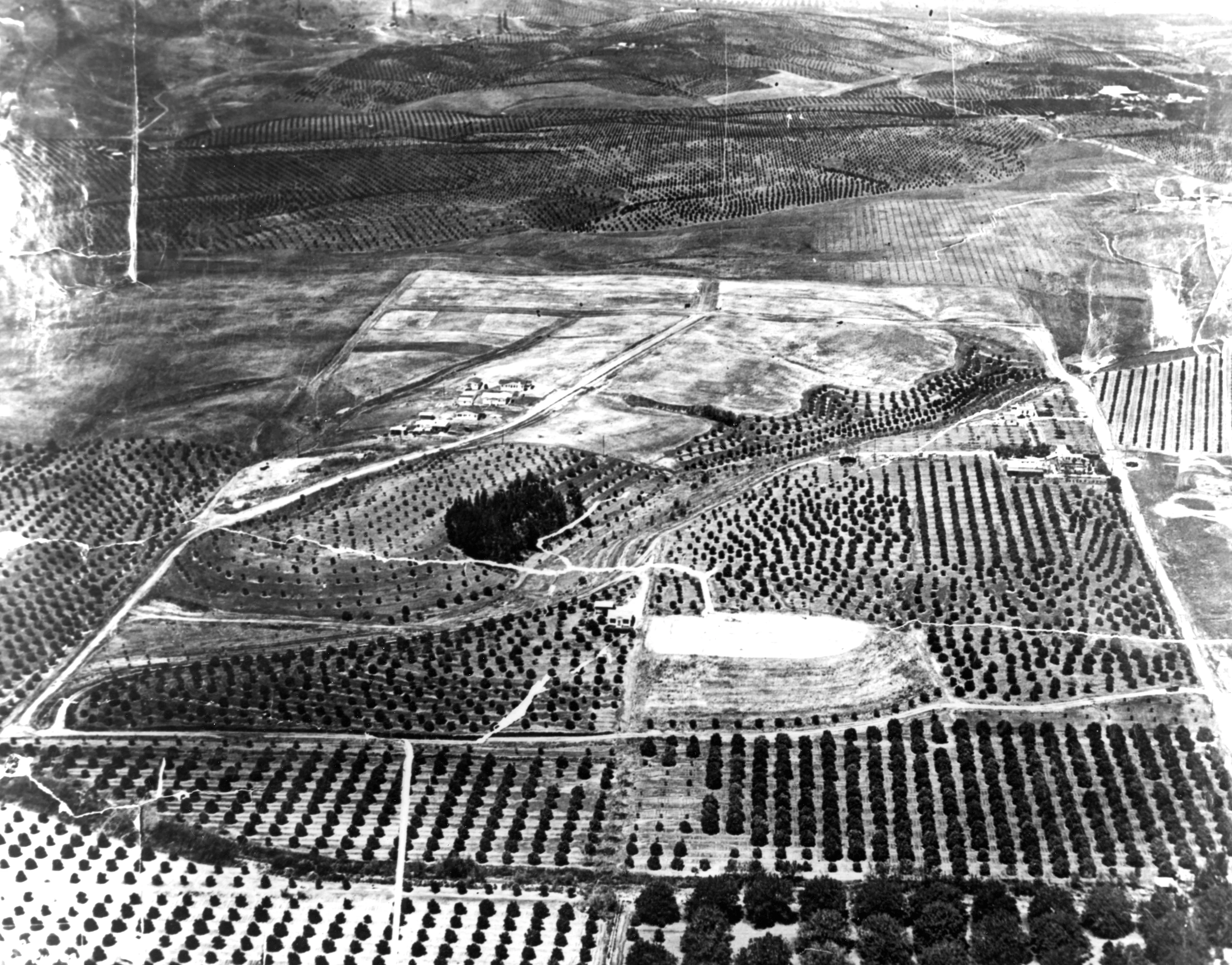
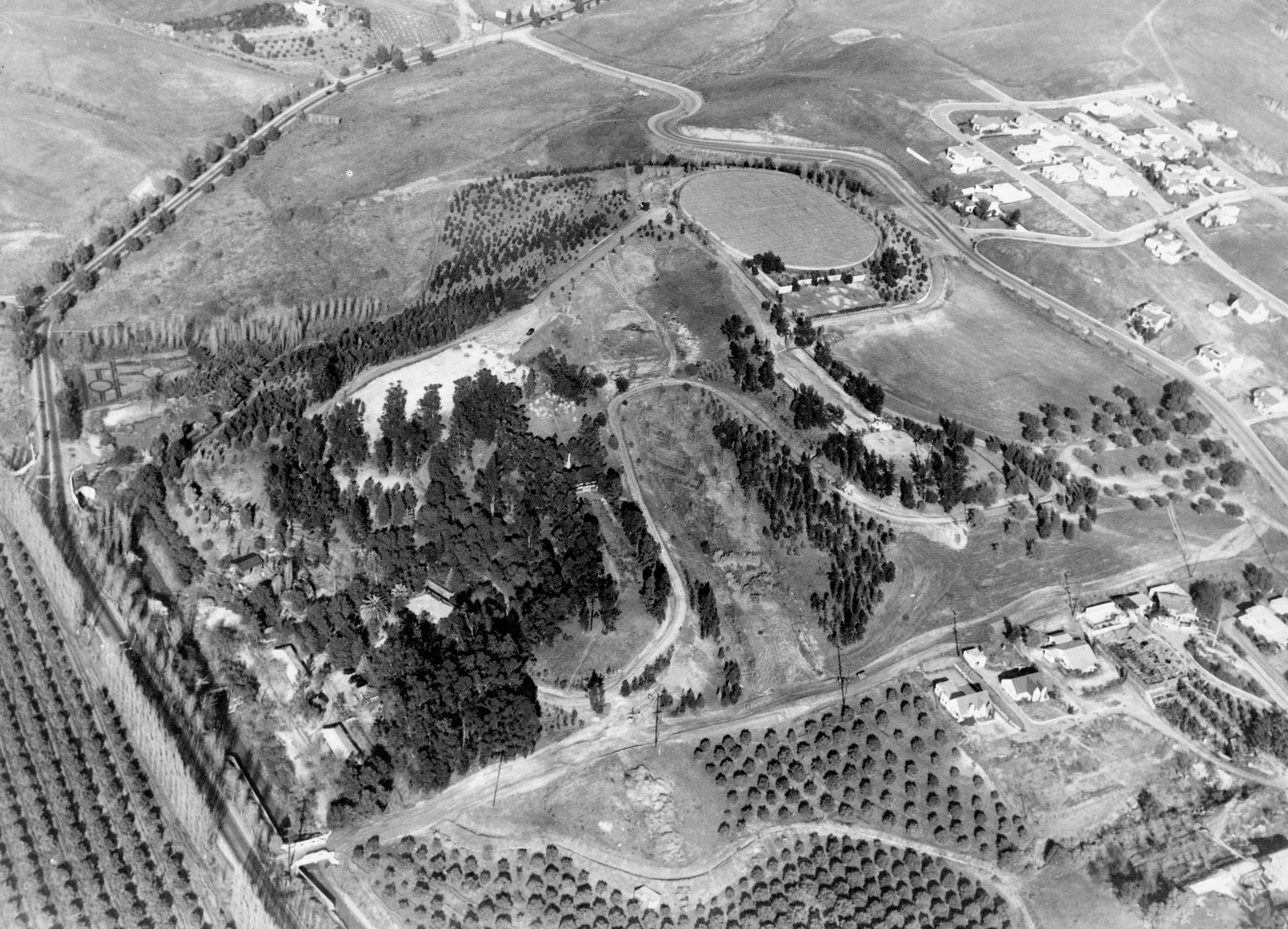
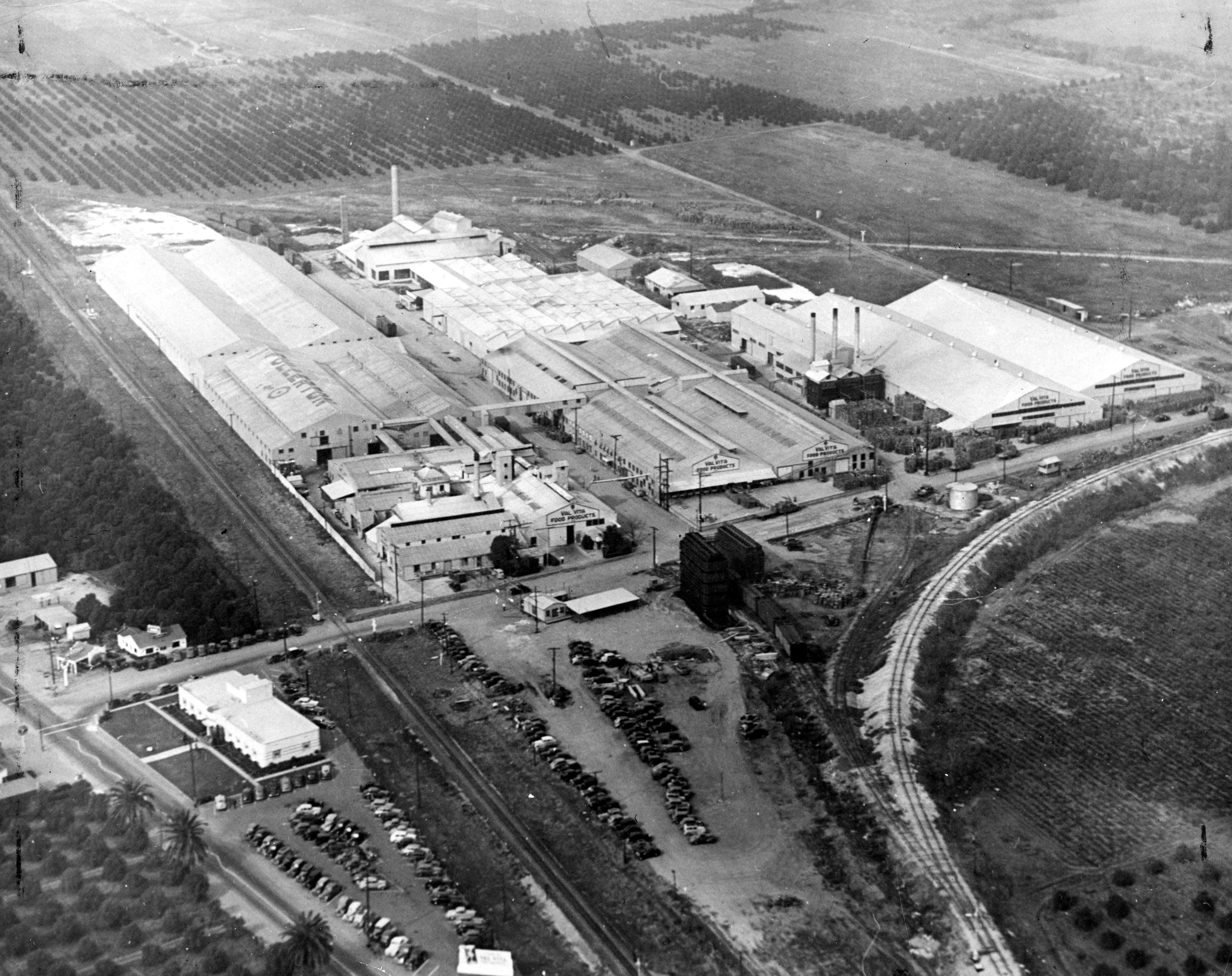
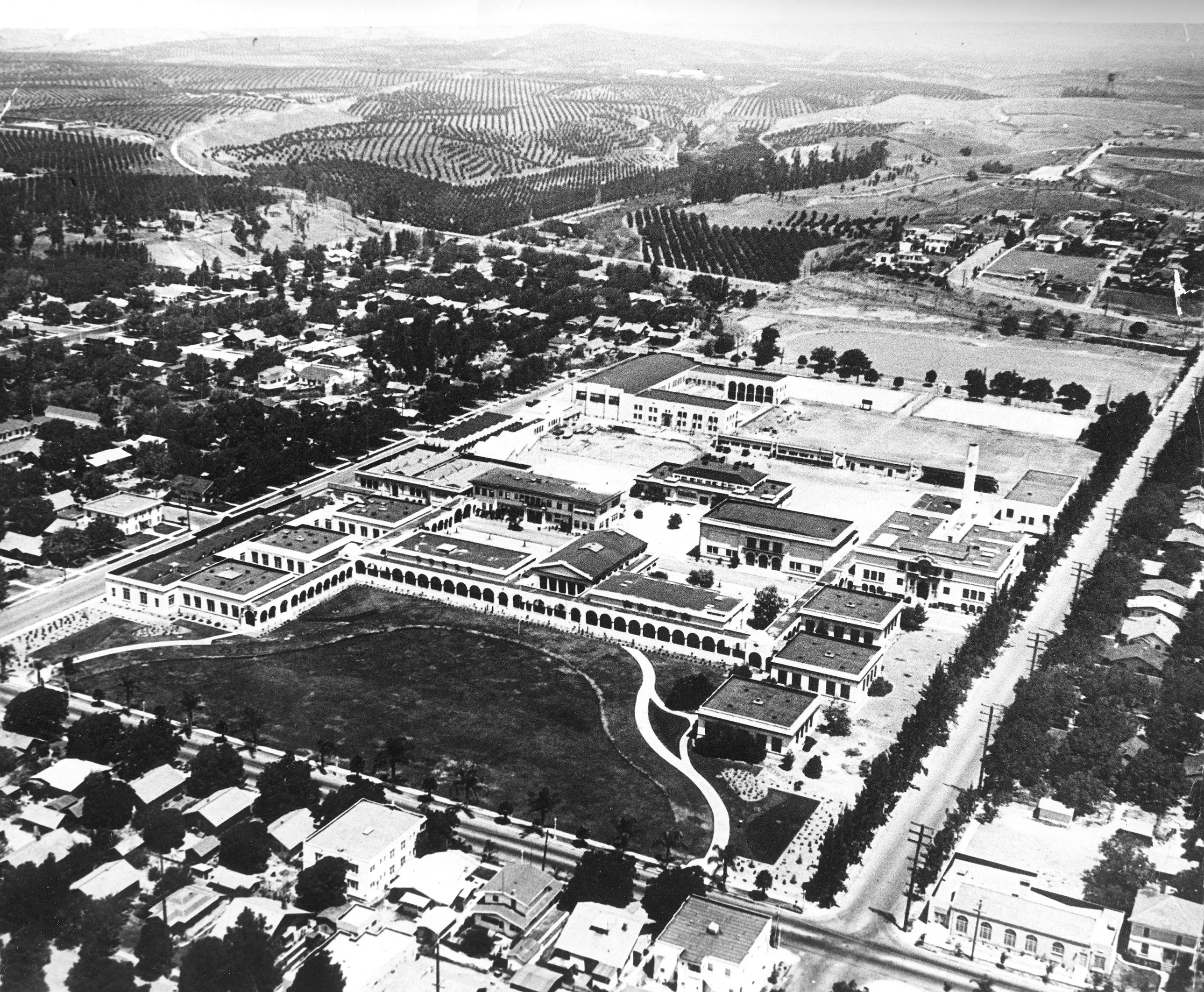
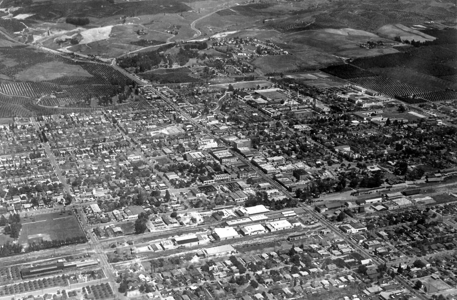
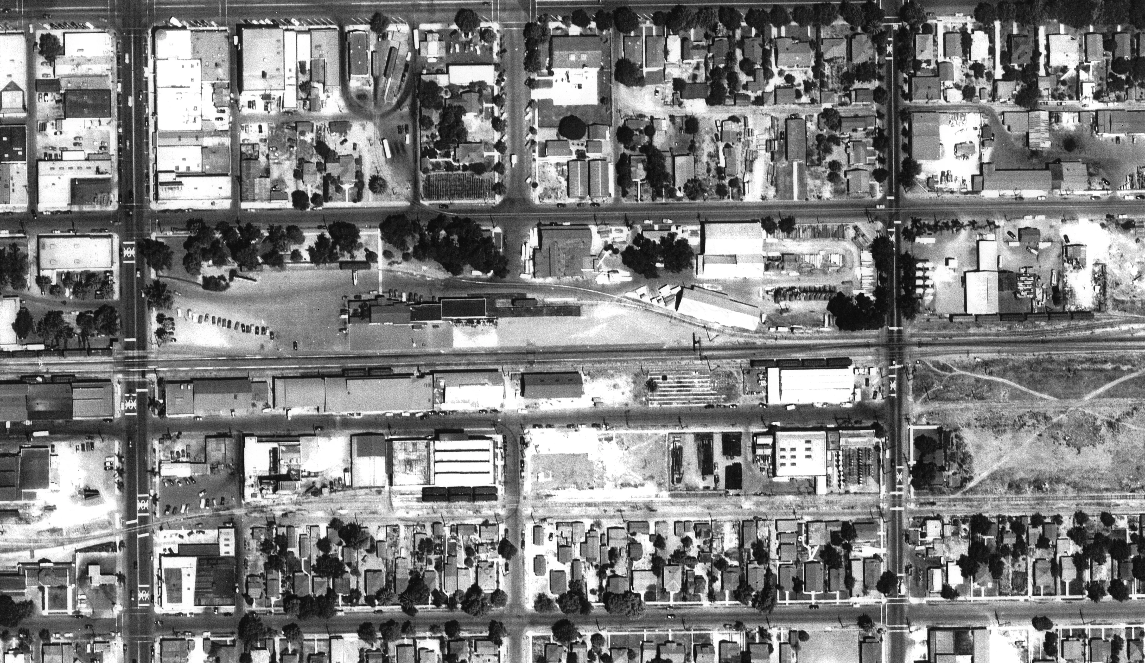
TO SEE A FULL VERSION OF THE IMAGE PLEASE CLICK THE IMAGE. 33°52'33.1"N 117°55'24.9"W Downtown Fullerton– 1950s 33°52'33.6"N 117°55'03.6"W Fullerton High School & Fullerton College – 1940s 33°52'12.6"N 117°57'03.4"W Kohlenberger Plant – 1950s 33°52'14.8"N 117°58'46.8"W Airport – 1960s 33°53'38.5"N 117°56'05.1"W Bastanchury Ranch – 1930s 33°52'57.0"N 117°53'06.8"W Cal State Fullerton – 1960s 33°52'43.5"N 117°56'11.0"W Golden Hill Subdivision– 1920s 33°53'01.0"N 117°55'17.4"W Hillcrest Park – 1930s 33°52'13.9"N 117°57'32.9"W Hunt Foods – 1940s 33°52'28.2"N 117°55'13.2"W Fullerton High School – 1920s 33°52'08.4"N 117°55'18.4"W Downtown Fullerton– 1940s 33°52'08.9"N 117°55'22.2"W Santa Fe Depot – 1940s For more historical aerial photography click here https://www.ocgis.com/ocpw/historicalimagery/